Information
- Distance: 2 miles
- Grade: Gentle
- A GPX route of this walk is available: Download GPX
- Directions to Car Park
- What Three Words
cosmetic.outlawing.limes
Map
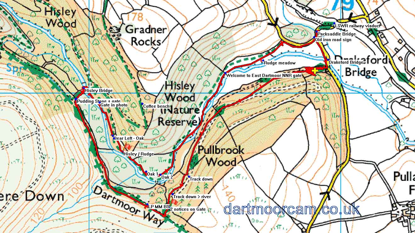
Note that the OS Map incorrectly names these woods as “Pullbrook” instead of “Pullabrook”
Introduction
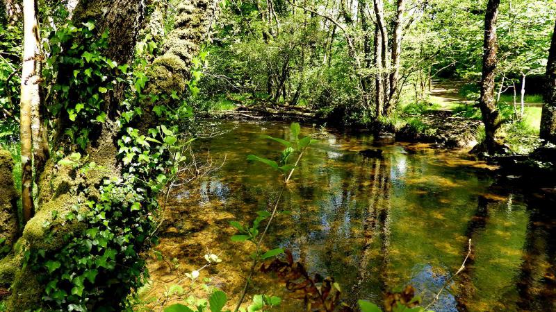
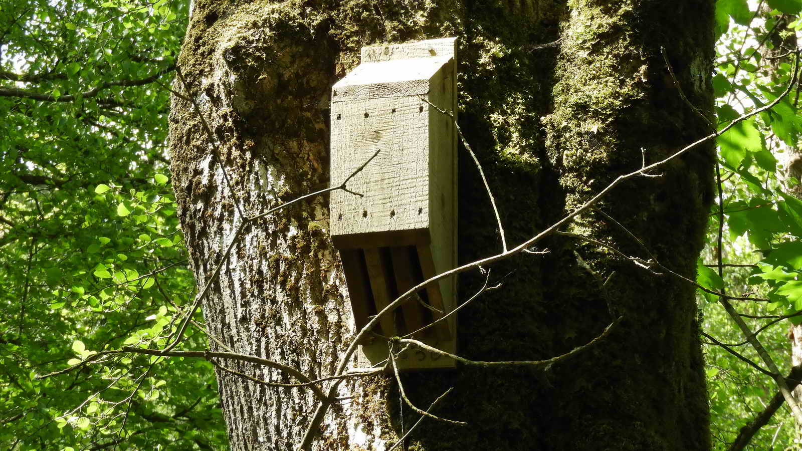
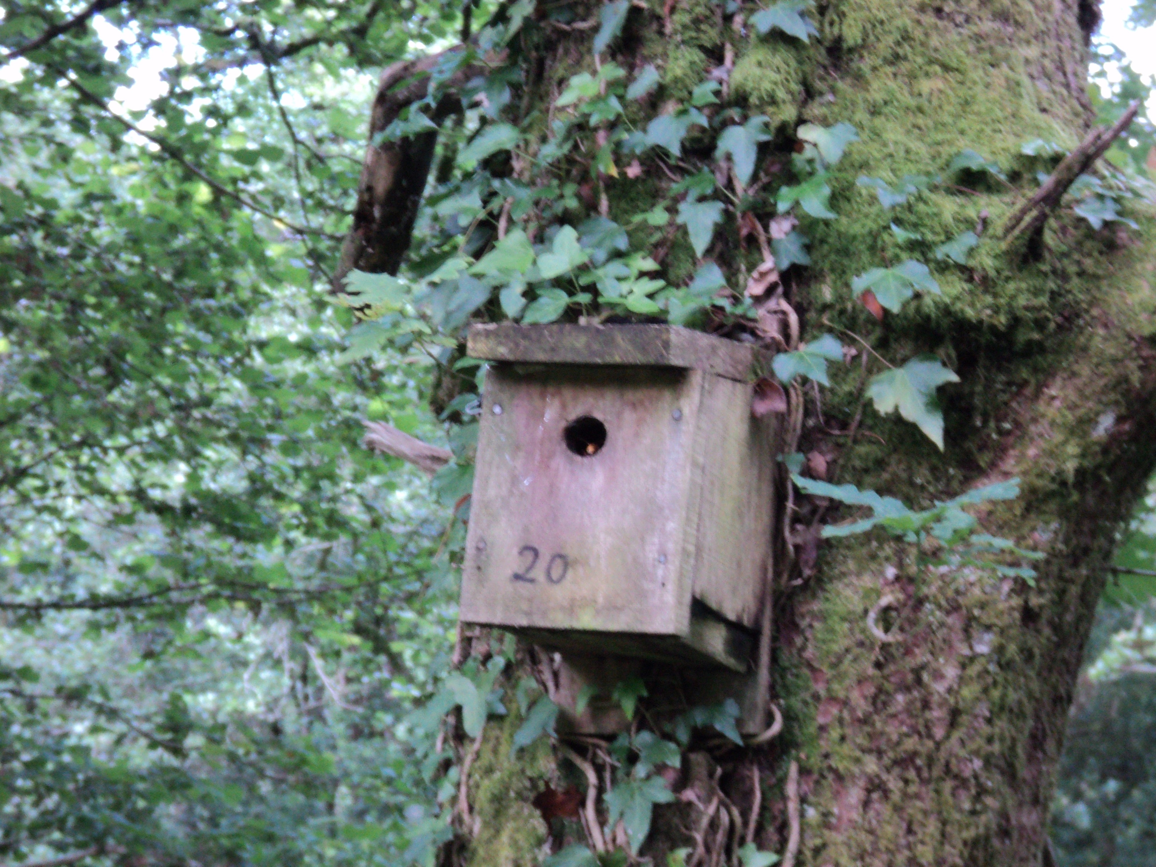
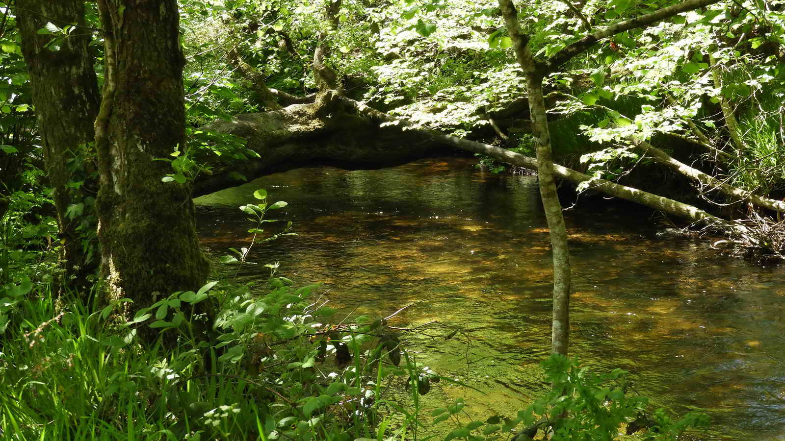
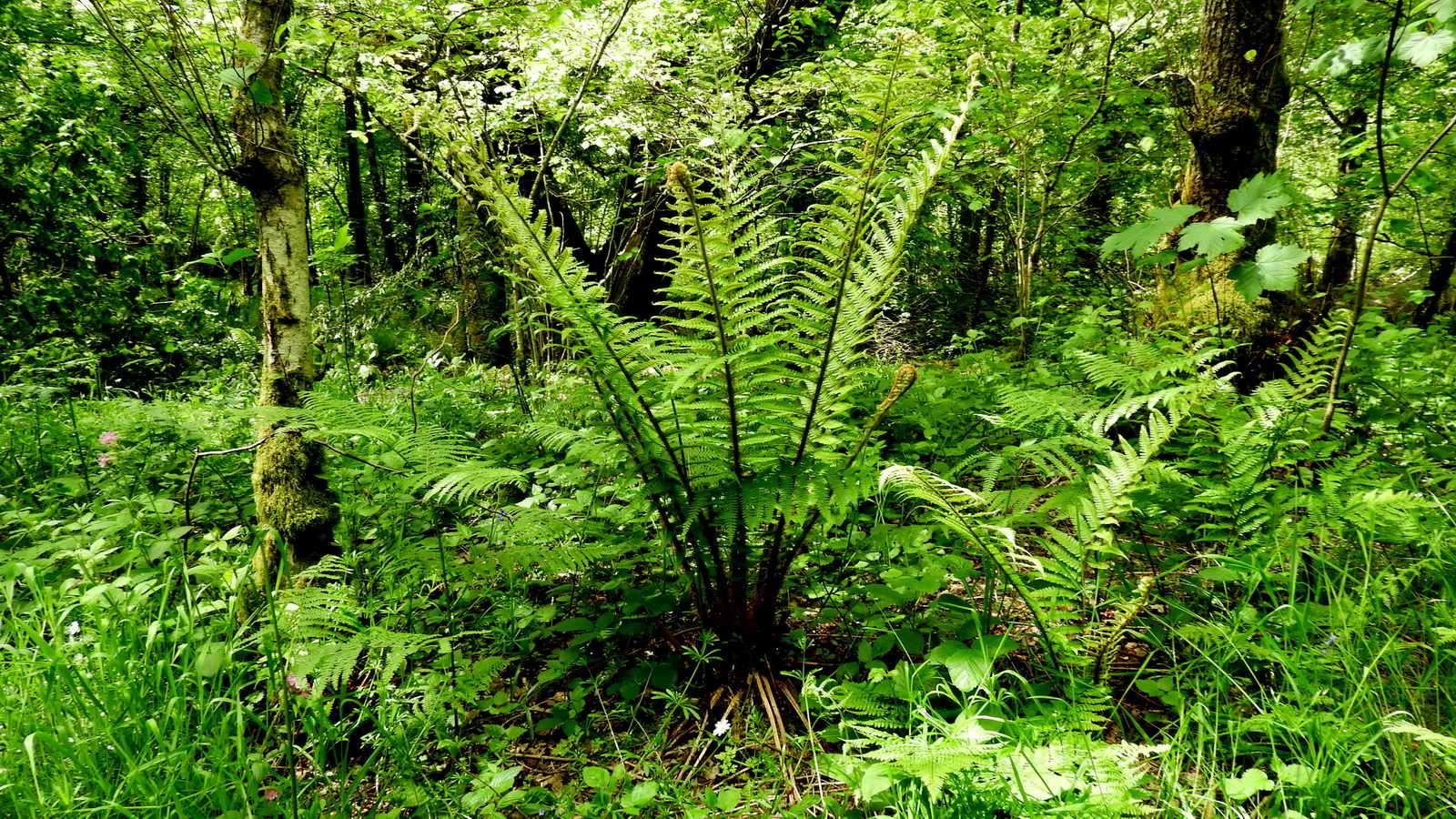
Owned and managed by the Woodland Trust, Pullabrook Woods is a lovely little area popular with dog walkers. There are woodland paths up the west side of the River Bovey, crossing it at a notable stone bridge, and back down the Eastern side, re-crossing close to the car park. It’s particularly lovely on a hot summer’s day as most is well shaded. The area is known for its wildlife, especially wild birds - with the rare Dartford Warbler, the Kingfisher and Pied Flycatcher seen here. There are also dormice, otter and bats with the river home to Salmon and Brown and Sea Trout.
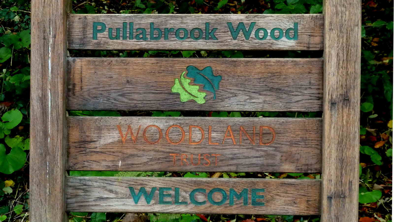
Pullabrook Woods
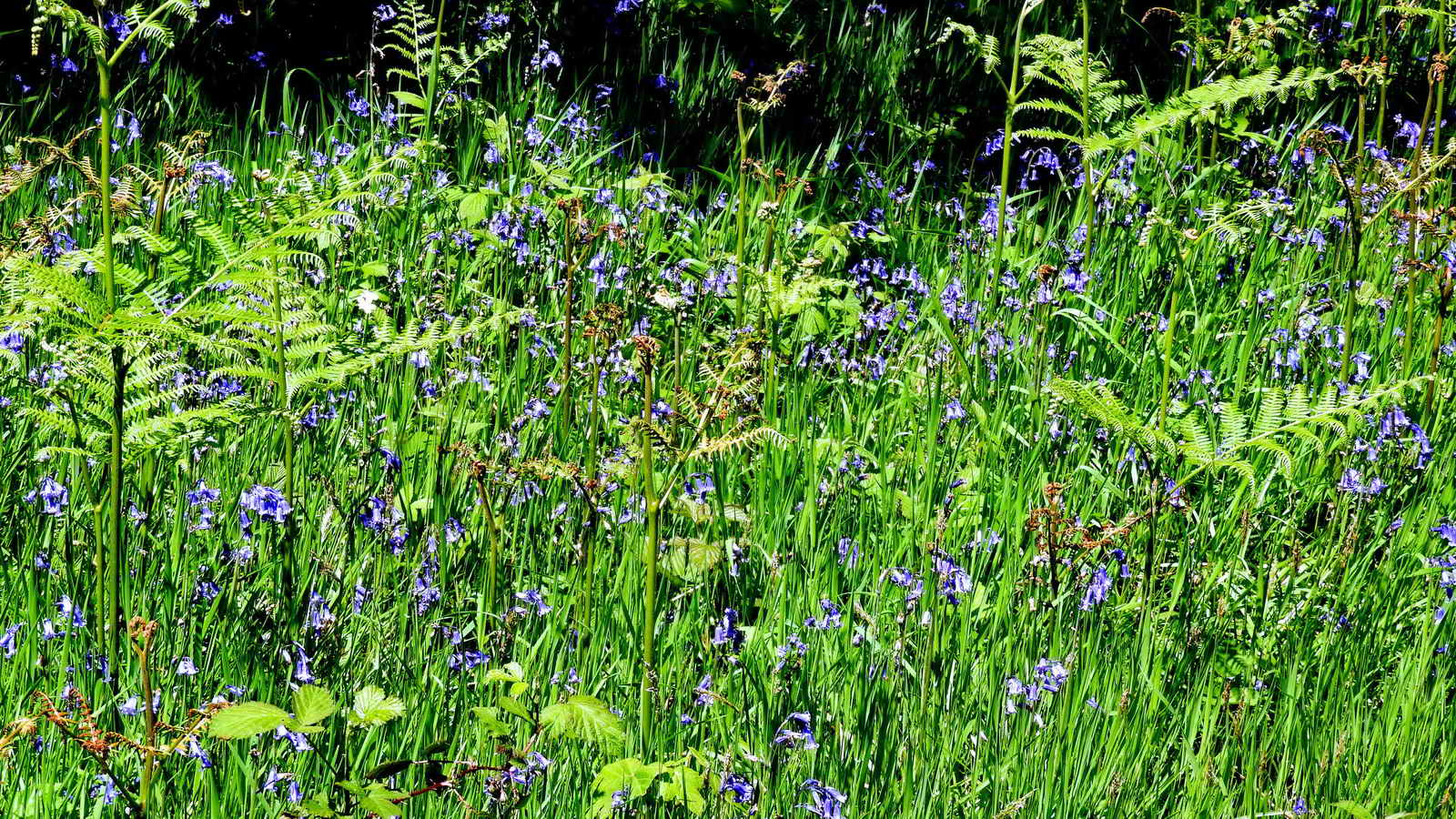
Also known as “Pullbrook Woods”, if only by Ordance Survey, these woodlands are 50 acres (20ha) in size and are a mix of ancient woodland and wildflower-rich wet meadows in the steep-sided valley of the River Bovey.
The name Pullabrook probably comes from the personal name, “Polla”, so in modern terms, “Polla’s Brook”
The nearby Pullabrook Farm is mentioned in the Domesday book of 1086 where it is written as “Polebroc” and was seized by William the Conqueror as part of the Bovi estate when the Normans invaded. As a reward for his support, William gave this estate to Geoffrey de Mowbray the Bishop of Coutances. The current farmhouse dates from the sixteenth century and is Grade II listed.
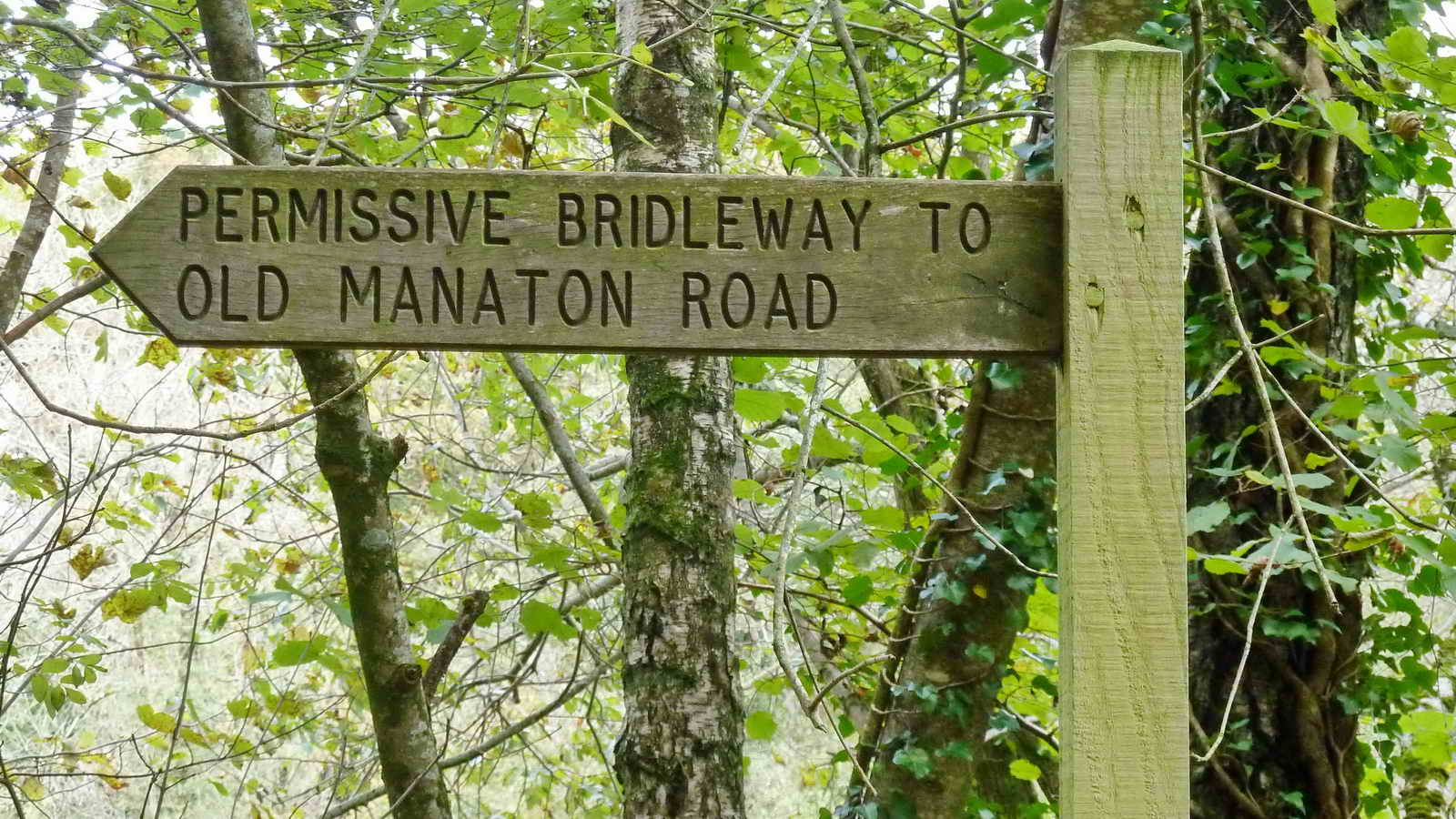
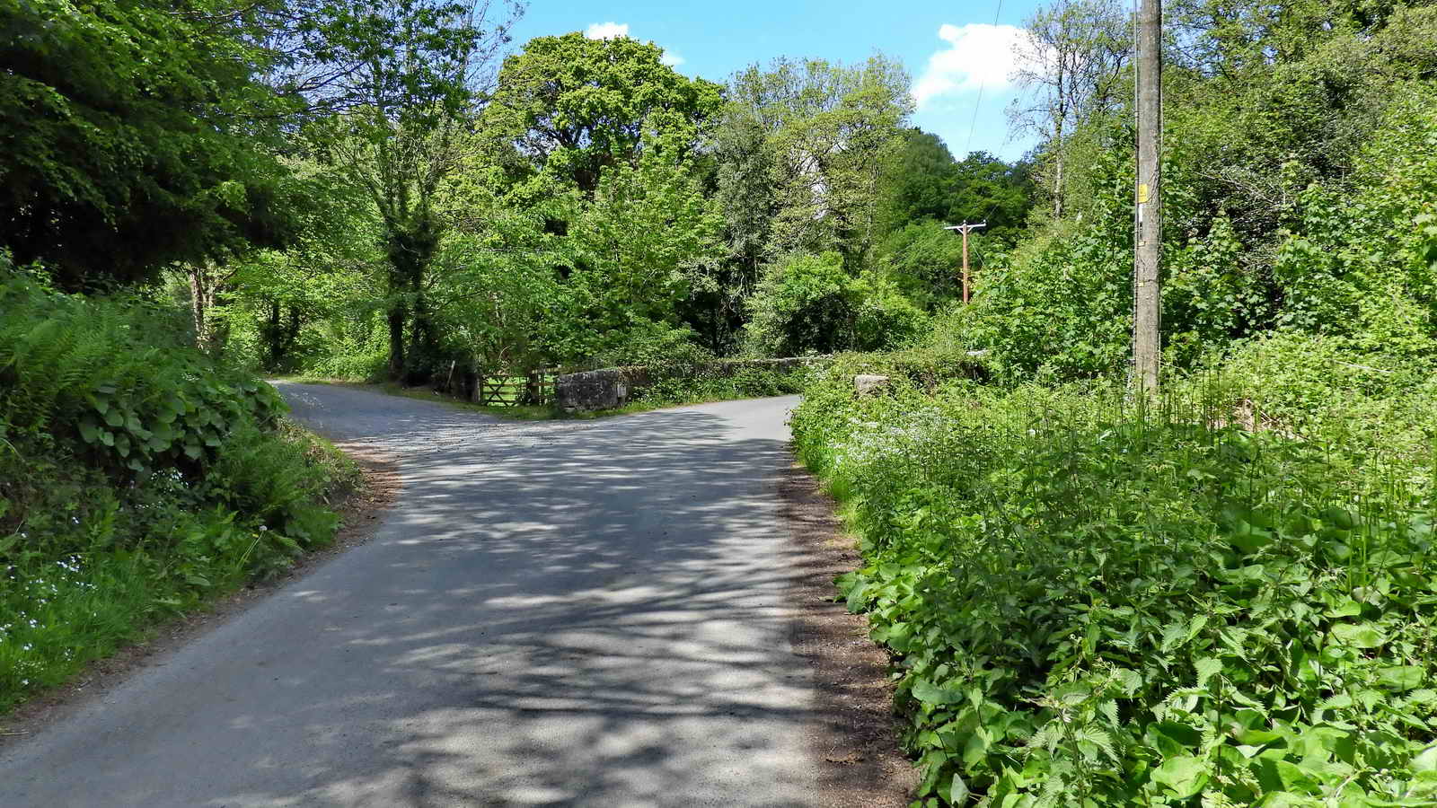
Follow the Bridleway West at the far end of the car park
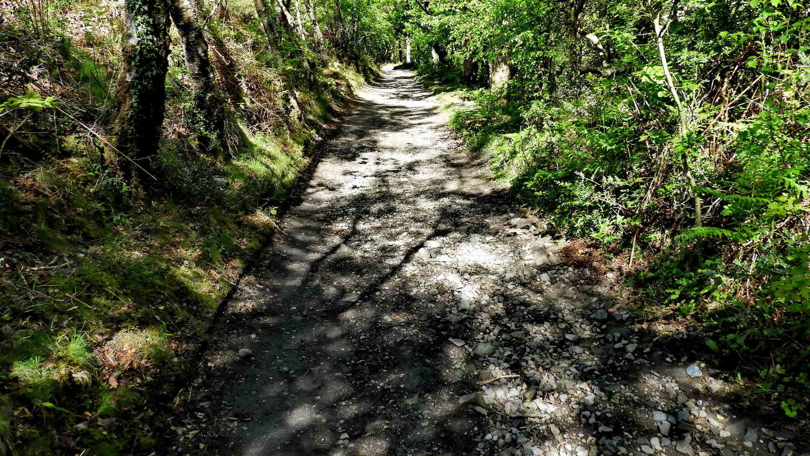
Old Manaton Road
We briefly leave The Woodland’s Trust land and enter the bottom edge of Trendlebere Down, owned by English Heritage.
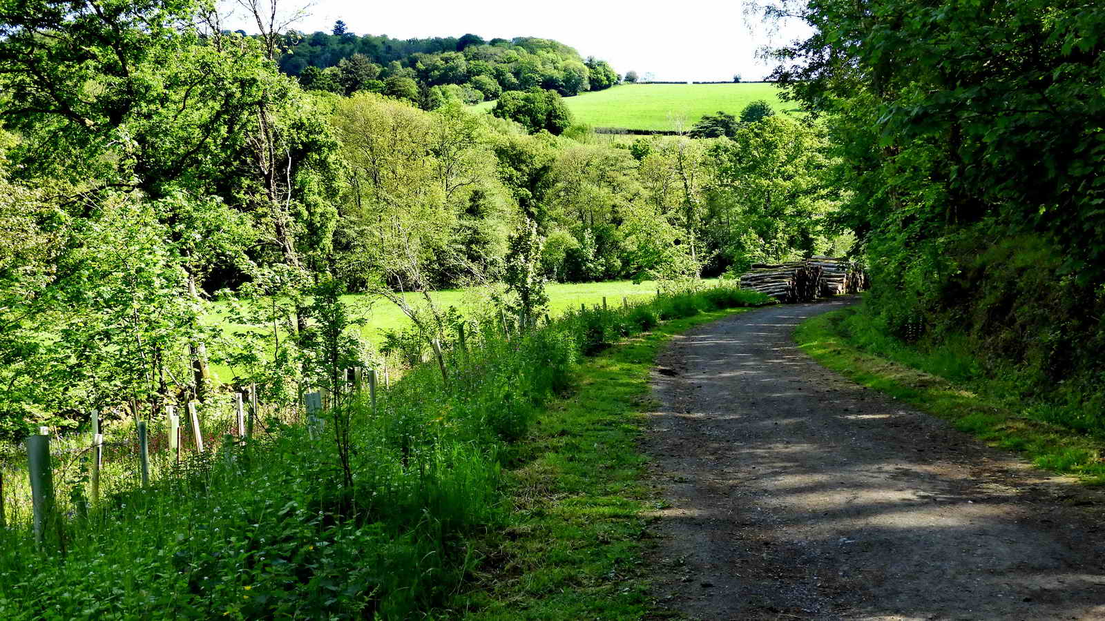
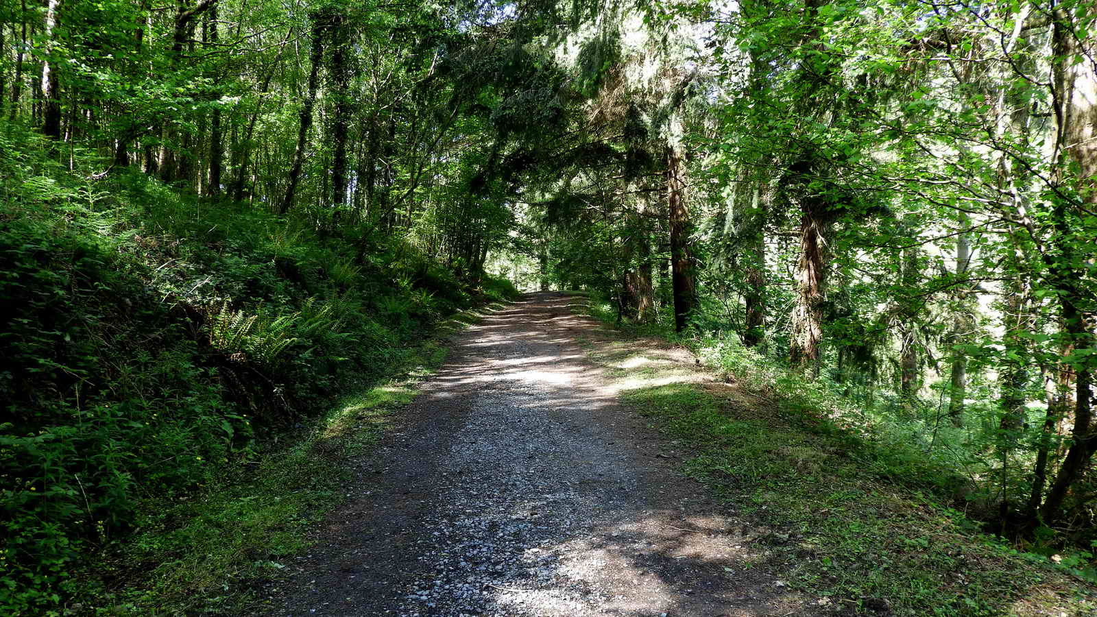
This unsealed track is, in fact, a fully legal road and you may see cars and motorbikes using it as well as cyclists, horseriders and walkers.
Before the road that travels above us on Trendlebere Down was built in the 19th Century, this was the original and main road between Bovey Tracey and Manaton.
It’s now a Byway Open to All Traffic (BOAT) which means any road going vehicle can legally use it provided they are taxed and insured - although much of it is only suitable to off road vehicles.
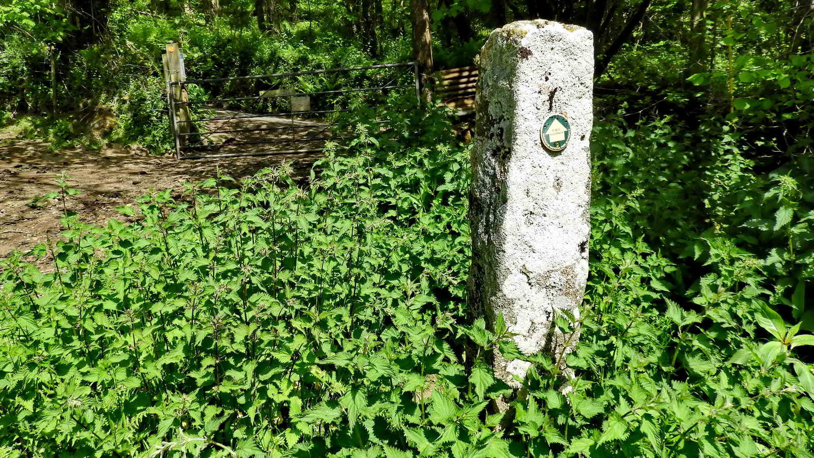
Lustleigh Parish Boundary Stone
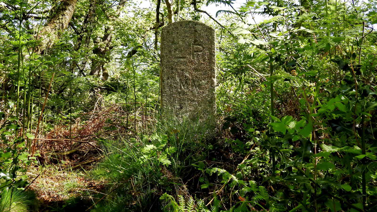
This stone was erected in 2000, hence the Roman numerals, MM.
LP stands for Lustleigh Parish which extends to the North.
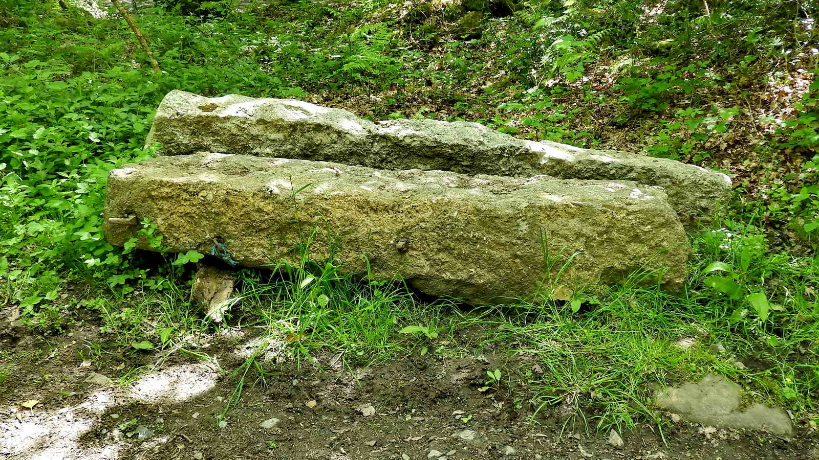
The Pudding Stone
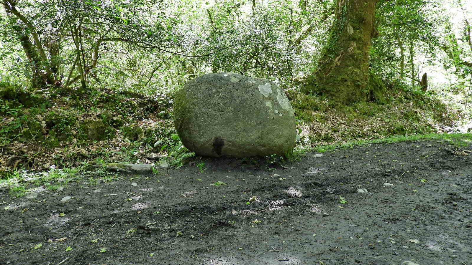
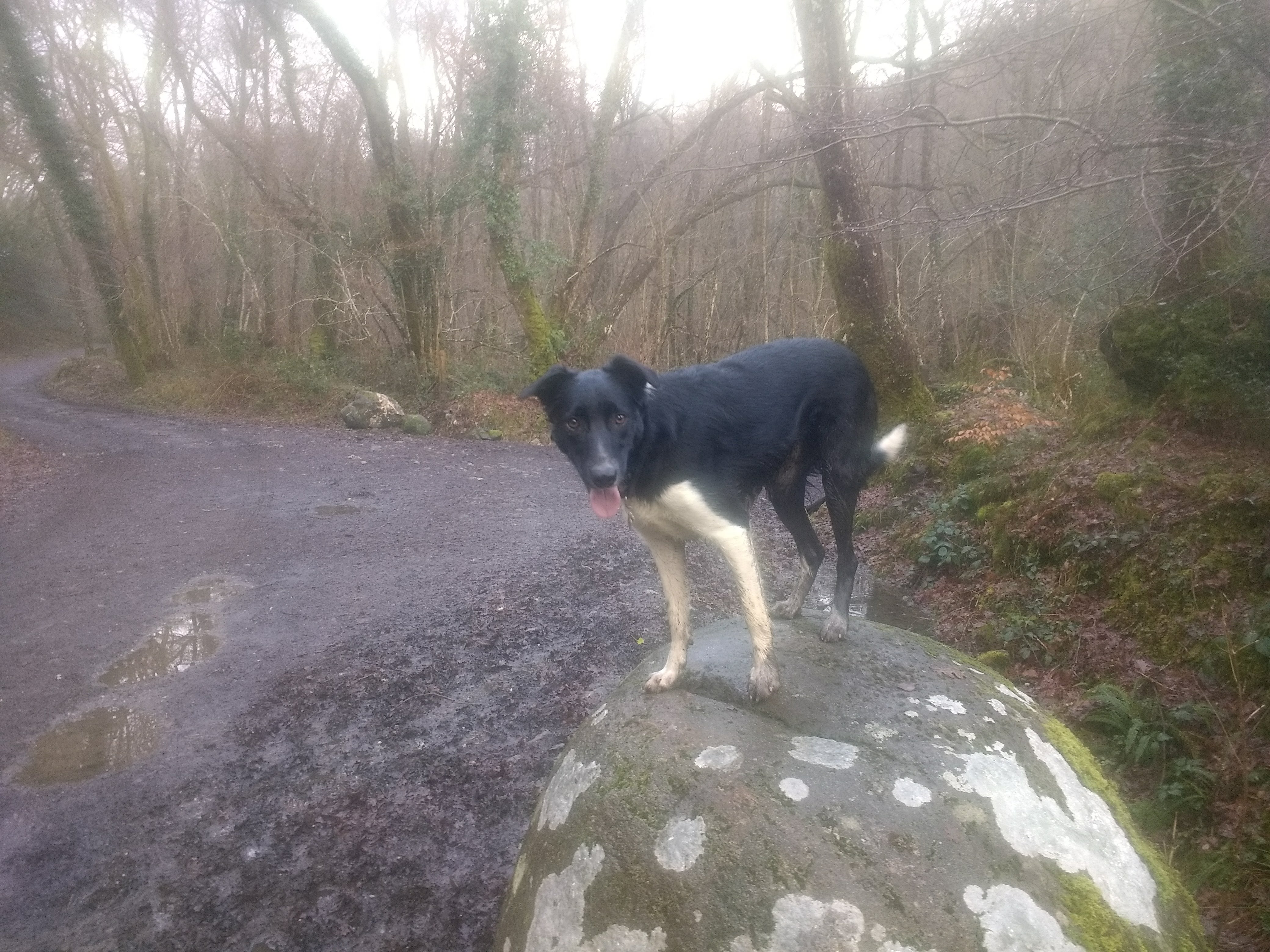
The name “Pudding Stone” describe several types of rock around the world. In this case, it’s likely that this is just a natural lumps of granite that happens to resemble a pudding.
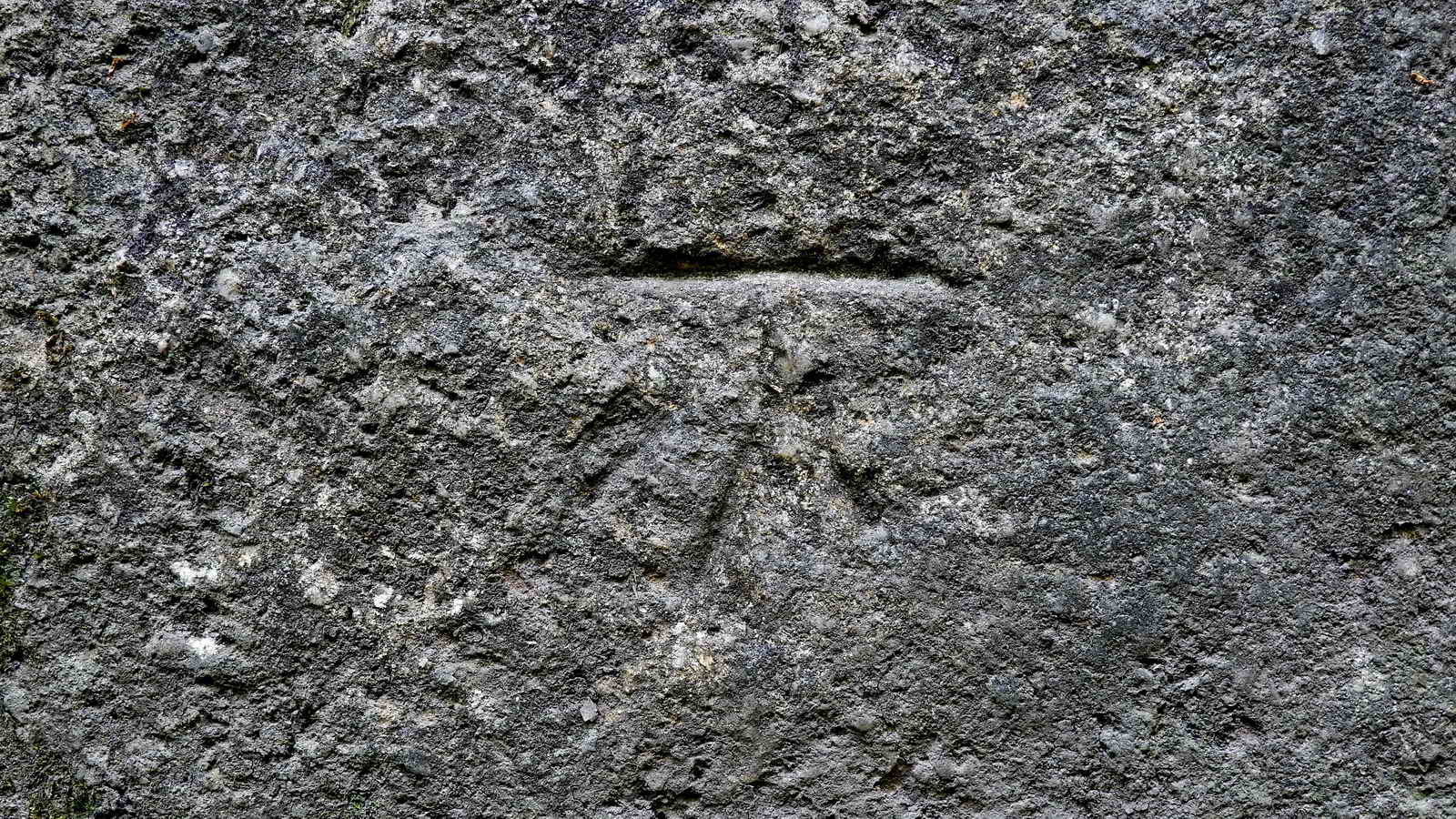
If you look closely, you will see that it has a inscribed feature of an arrow and line. This is a benchmark, likely carved during the 1800s when the Ordnance Survey did detailed mapping of the UK. There are over half a million of these symbols, some dating back to 1831, which provide a fixed point of reference. They are no longer created as technology has made them obsolete, but still a good reminder of how we created the most accurate maps in the world by measuring angles.
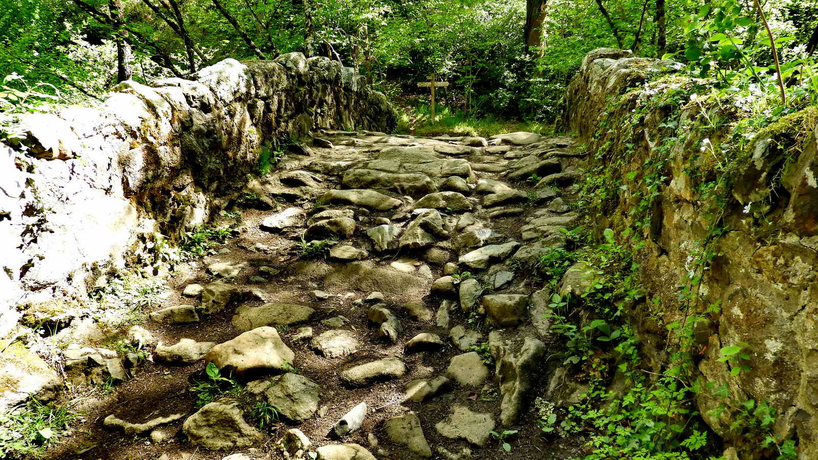
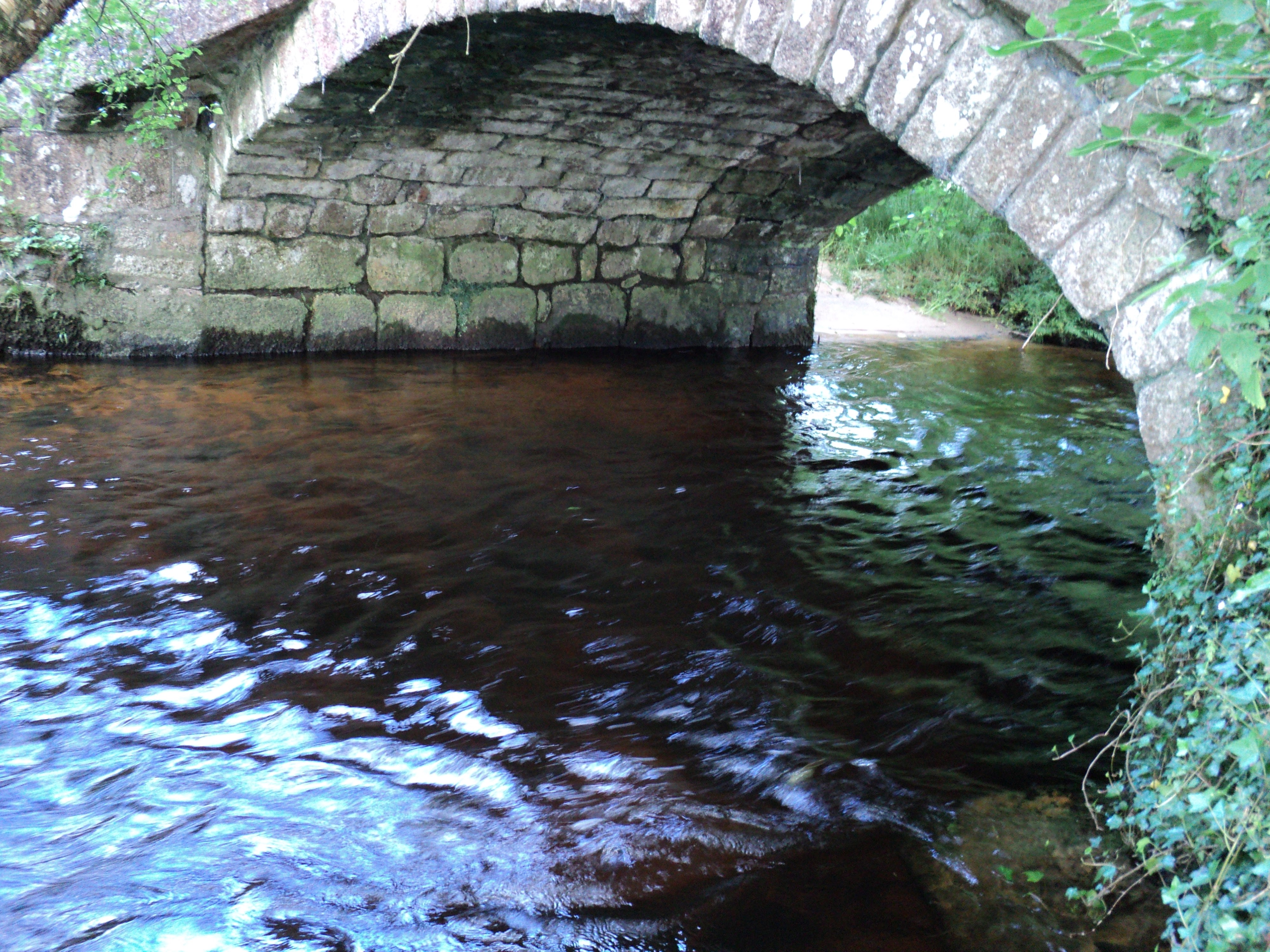
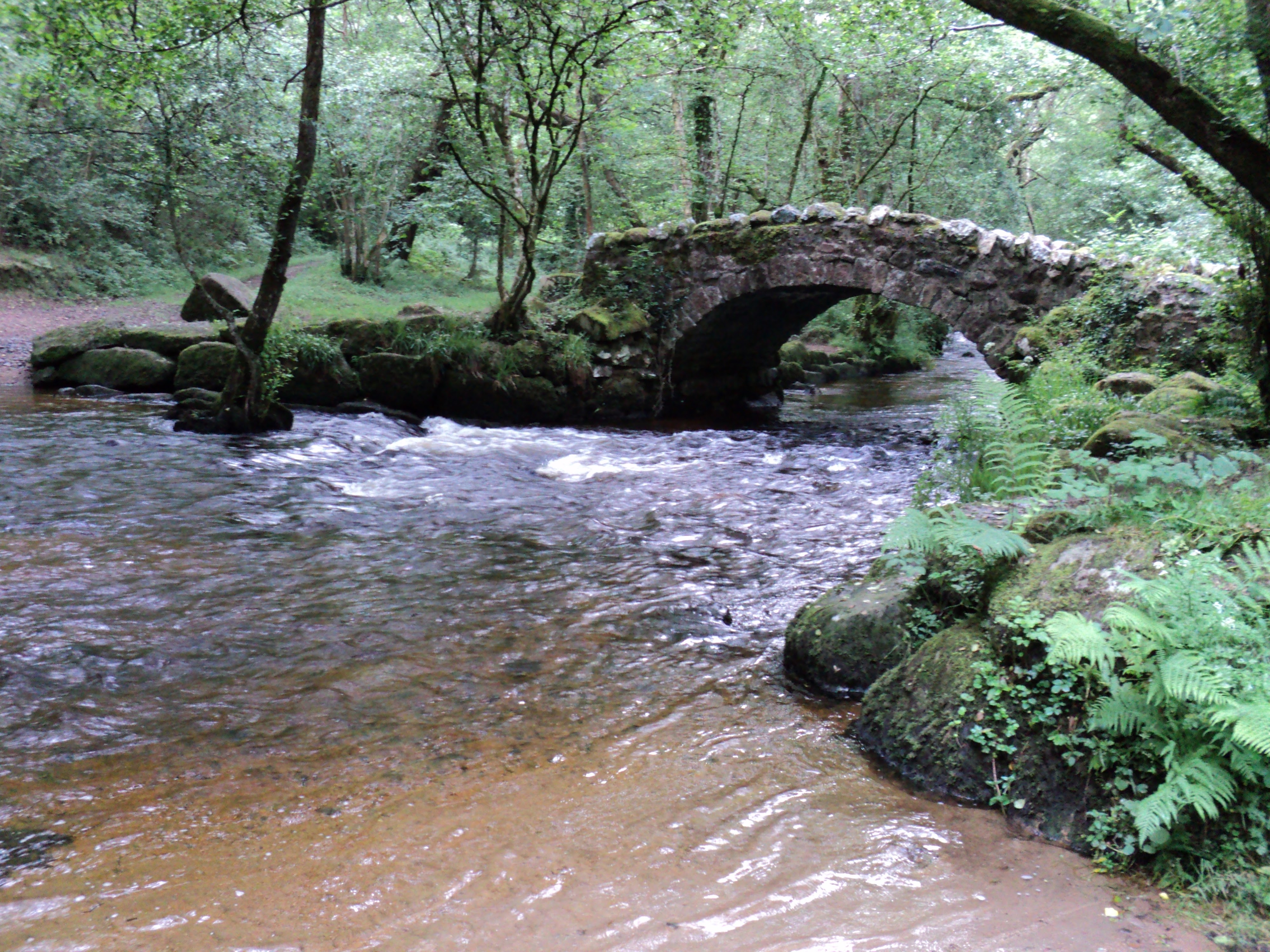
Hisley “Fairy” Bridge
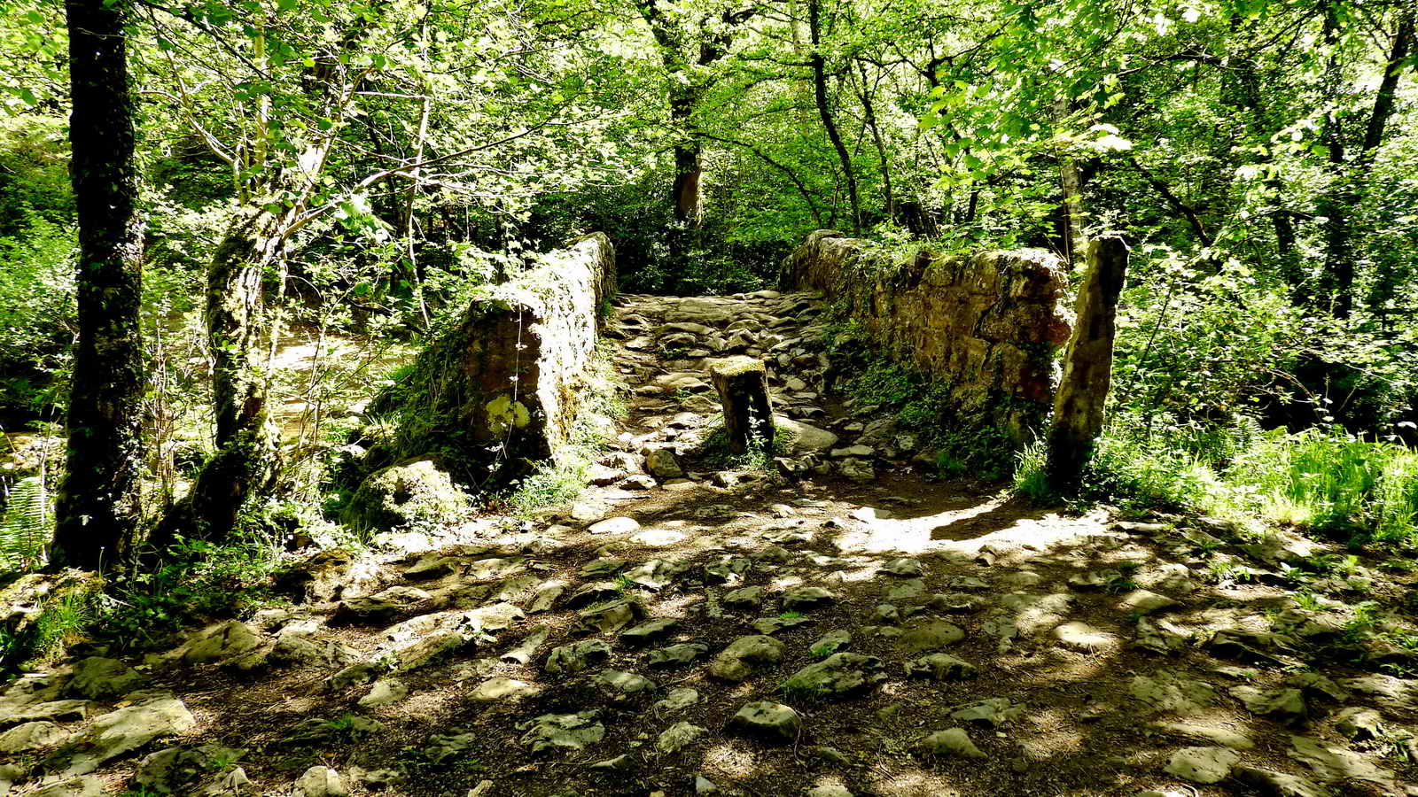
Hisley Bridge is a post-medieval bridge built some time between 1401 and 1750 to improve safe access over the river for pack horses when the river is in spate, making the ford difficult.
The pillar in the middle of the bridge is a modern addition to prevent off road vehicles from using the bridge, which had already caused damage.
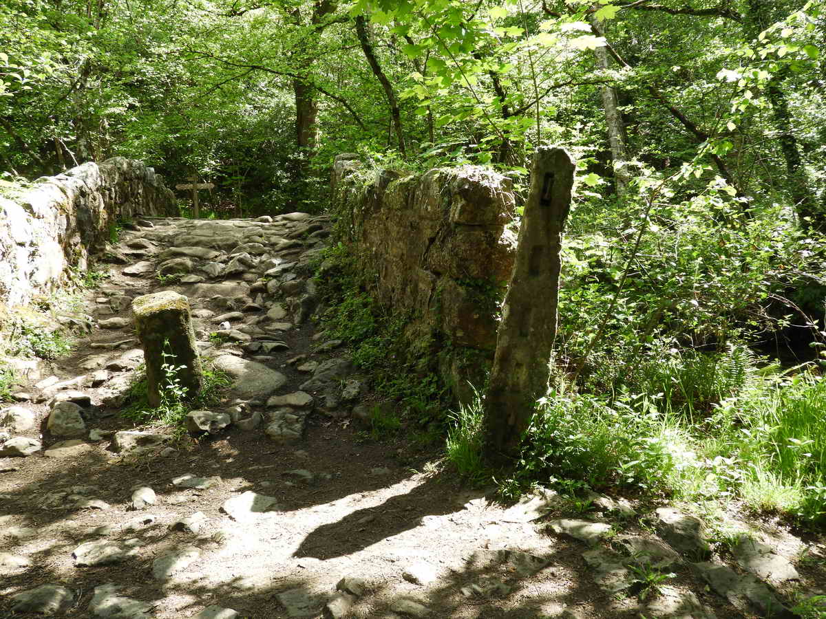
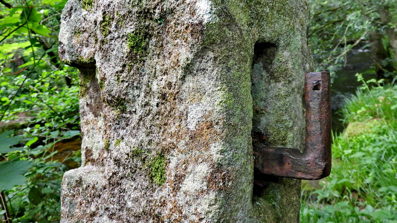
Note the slotted gatepost to one side, presumably to control use by pack pony drivers or to prevent livestock from crossing.
Not shown, but there are the ruins of a pair of late medieval structures approximately 150m North-West of Hisley Bridge, known as Vinnamore, which may have been related to this bridge. Possibly dwellings of toll keepers, or a valley farm with grazing on Trendlebere.
There are also remains of a 19th century weir nearby.
We cross the bridge and follow the lower path to the right, downstream
Hisley and Rudge Woods

Rudge Meadow
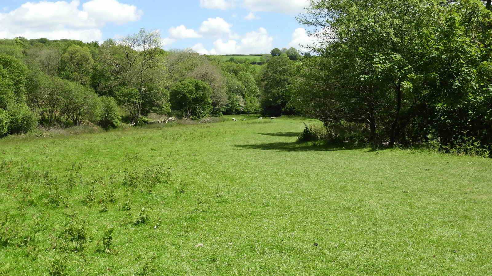
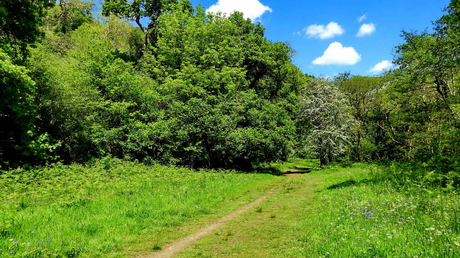
Emerging from Rudge Woods, we find ourselves in Rudge Meadow. On the 1838 Tithe Map, this is shown as “Great Moor” and was covered in Furze (Gorse). It has been improved since then.
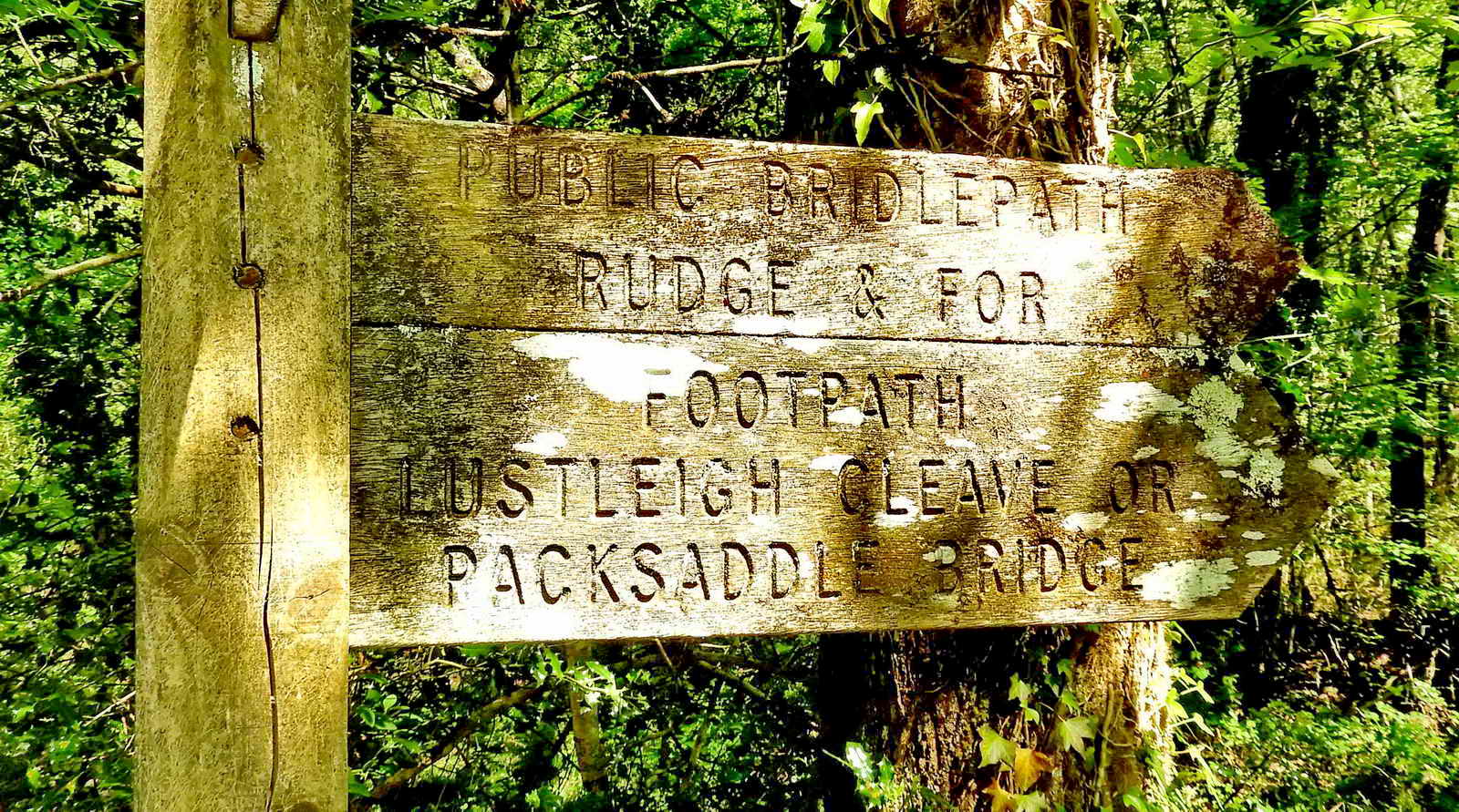
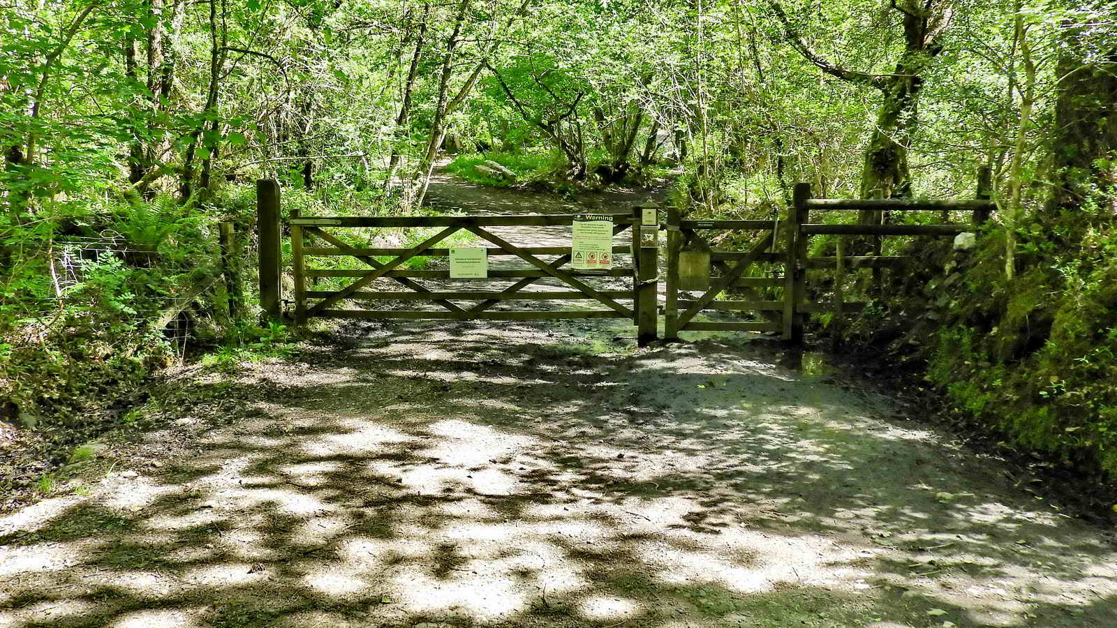
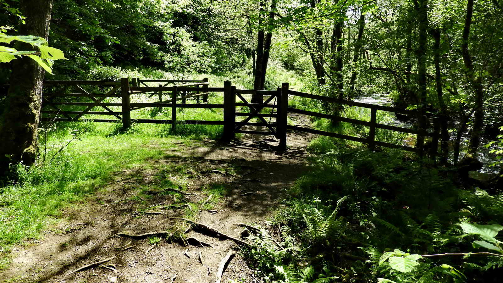
Go through the gate and turn right down the road
At this junction, a short detour left is recommended to the viaduct
Packsaddle Bridge and Viaduct
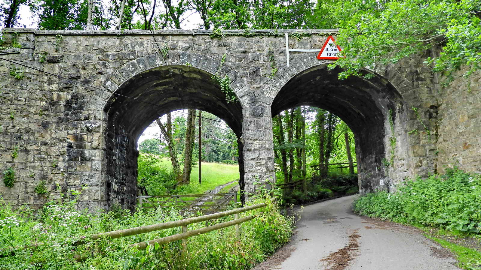
The viaduct once carried the GWR Moretonhampstead Railway Branch Line. This opened in 1866 as an independent line, and amalgamated with the GWR ten years later. British Rail nationalised it in 1948 and it closed in 1964 - another victim of Dr Beeching’s cuts.
Part of this line remains from Newton Abbot to Heathfield, although it has not been used for several years. It was resurrected briefly in the 2000’s to take away timber from Teign Grace halt but has since been idle.
You can see more evidence of the railway in many places from Newton Abbot to Moretonhampstead - such as the railway sheds at Bovey Tracey, many viaducts such as this, and some engine sheds at the Thompson’s lorry yard where it terminated. Much of the route is now a shared-use path for walkers, cyclists and horseriders.
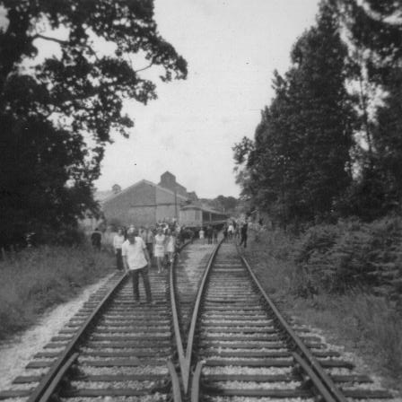
There was a nearby Pullabrook Halt railway stop, which was renamed in 1955 from Hawksmoor Halt, for the (not so nearby) Tuberculosis Sanitorium.
When ready, turn around and head back towards the car park
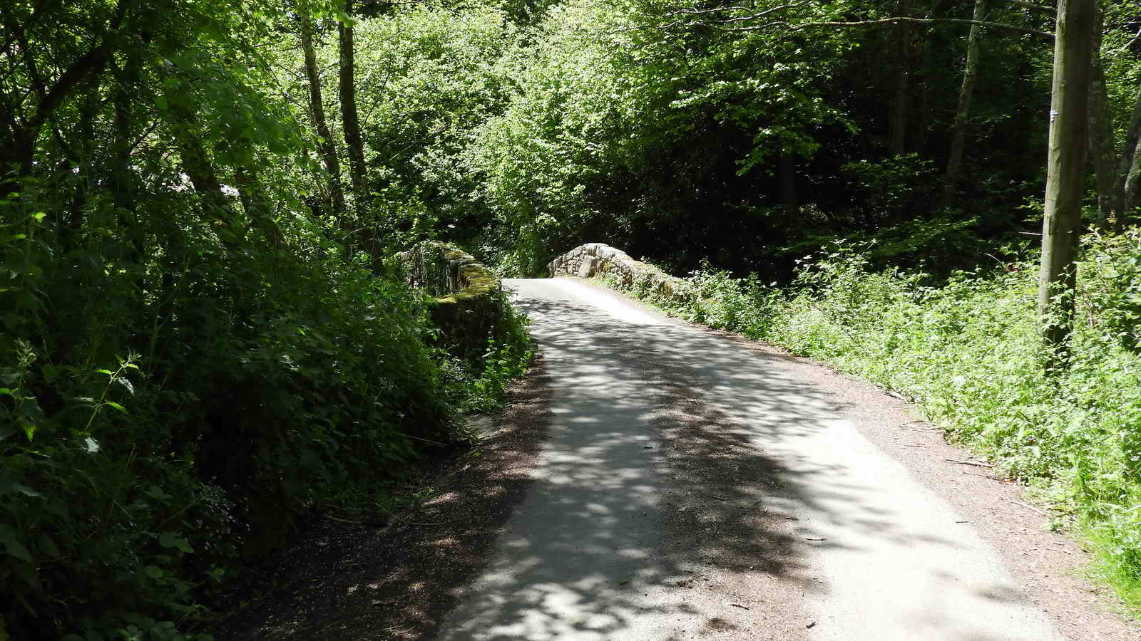
Drakeford Bridge
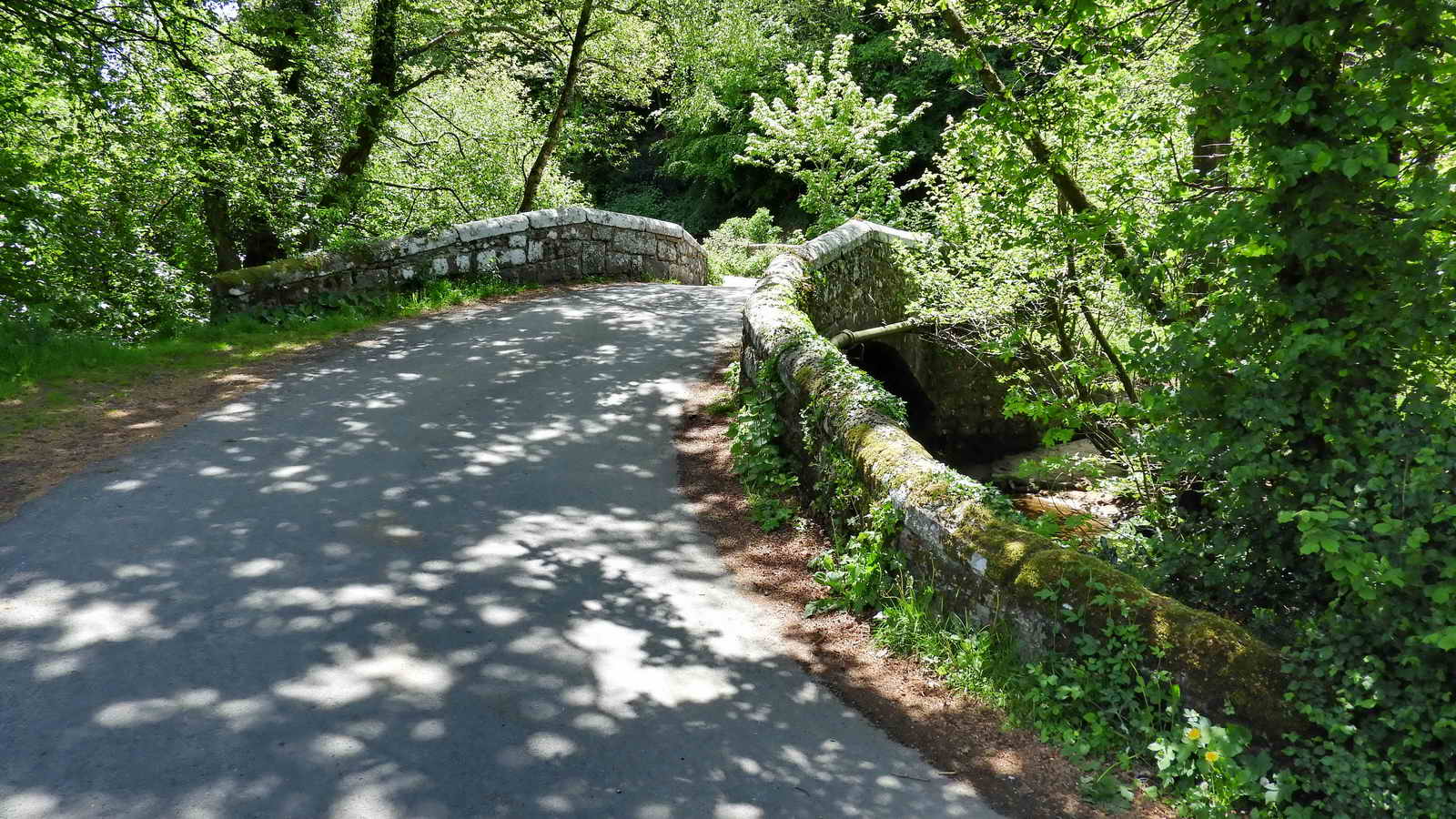
William Crossing refers to this as New Bridge in the 1912 edition of Crossing’s Guide to Dartmoor, and it is also known as Letford Bridge. However, today, it is best known as Drakeford Bridge.
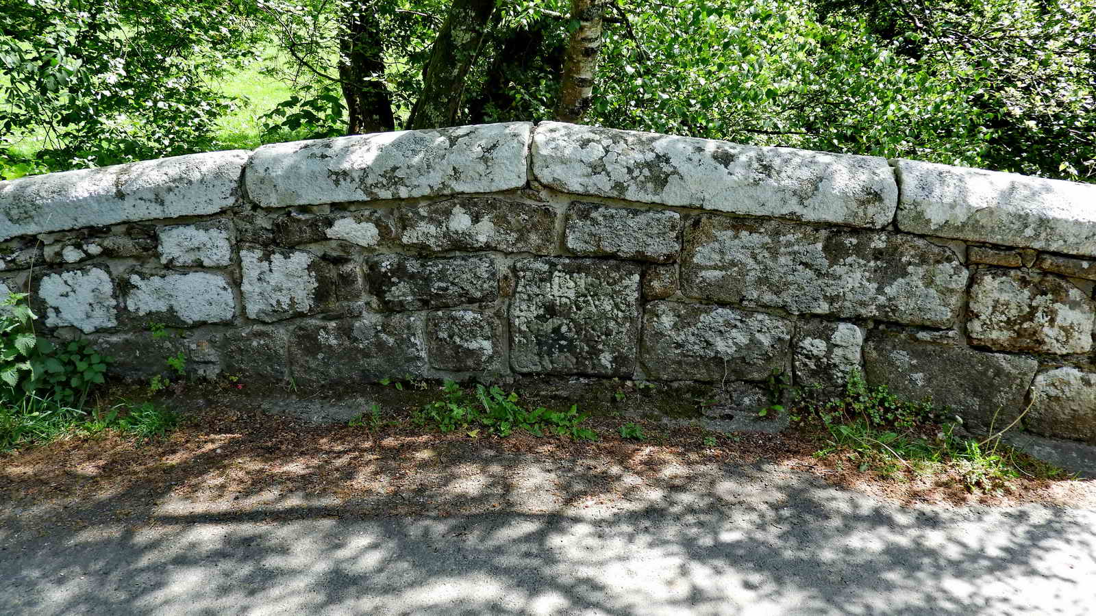
THIS 1684
BRIDGE WAS
REPARD
Y THE
COVNTY
Note: The ‘4’ is carved back to front.
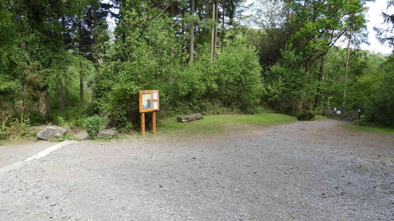
Parking
There is a free car park at the posted coordinates operated by the Woodland Trust. There is some parking at Trendlebeer Down also, if you don’t mind a stiff walk back up the hill.