
Information
- Distance: 3 miles
- Grade: Medium
- A GPX route of this walk is available: Download GPX
- Directions to Car Park
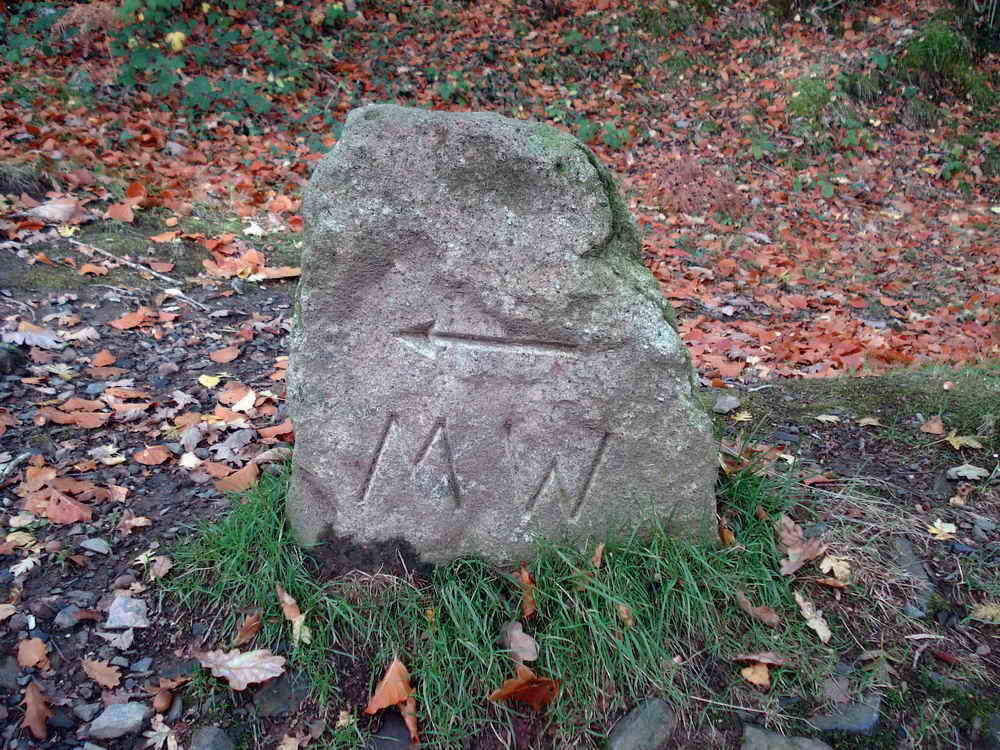
- What Three Words
control.according.blazing
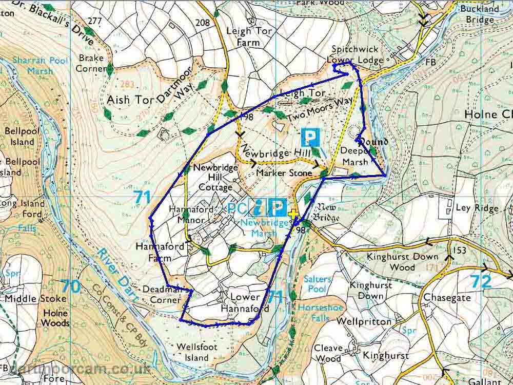
Map
Introduction
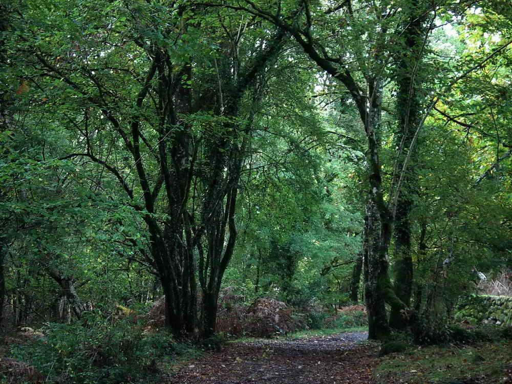
This is a nice walk that follows the River Dart uphill to the picturesque Deeper Marsh, which is much nicer than its name suggests - perhaps why so many prefer to call it Spitchwick. After inspecting the ancient pound, we climb uphill to Leigh Tor and take in some lovely views of the valley before descending through the quiet moorland below Aish tor back down behind Hannaford Farms to the river and walk past a Victorian Lily Pond. There’s a lot of variety in three short miles!
After your walk, there is often an Ice Cream Van at the Newbridge Car Park, and The Tavistock Inn a mile up the road at Poundsgate serves good food.
Newbridge
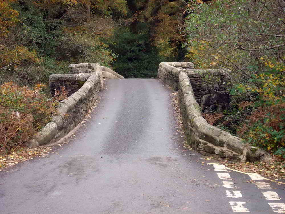
New Bridge is a Grade II listed medieval bridge that was built from local granite in 1413, at the same time as Holne Bridge a mile or so downriver. It has three arches constructed with cutwaters (Angled edges) to help the water flow, which also provide refuges for pedestrians against traffic.
The Beatles were driven across this bridge on their 1967 Magical Mystery Tour and their bus got stuck, causing significant fuss! No doubt one reason why there are now strict restrictions to protect it from large vehicles. Despite this, damage is frequent and it has been repaired dozens, or maybe hundreds, of times as vehicles get larger. In 1912, metal pins were added to reinforce it as motorised traffic began to use it.
The bridge is mentioned in the book “Orphan Dinah” by Eden Phillpotts, Dinah leans over its parapet and “drops big tears into the crystal Dart beneath her.”
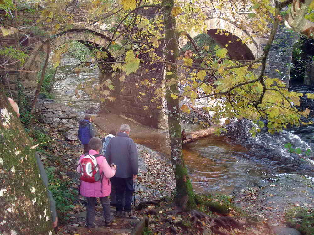


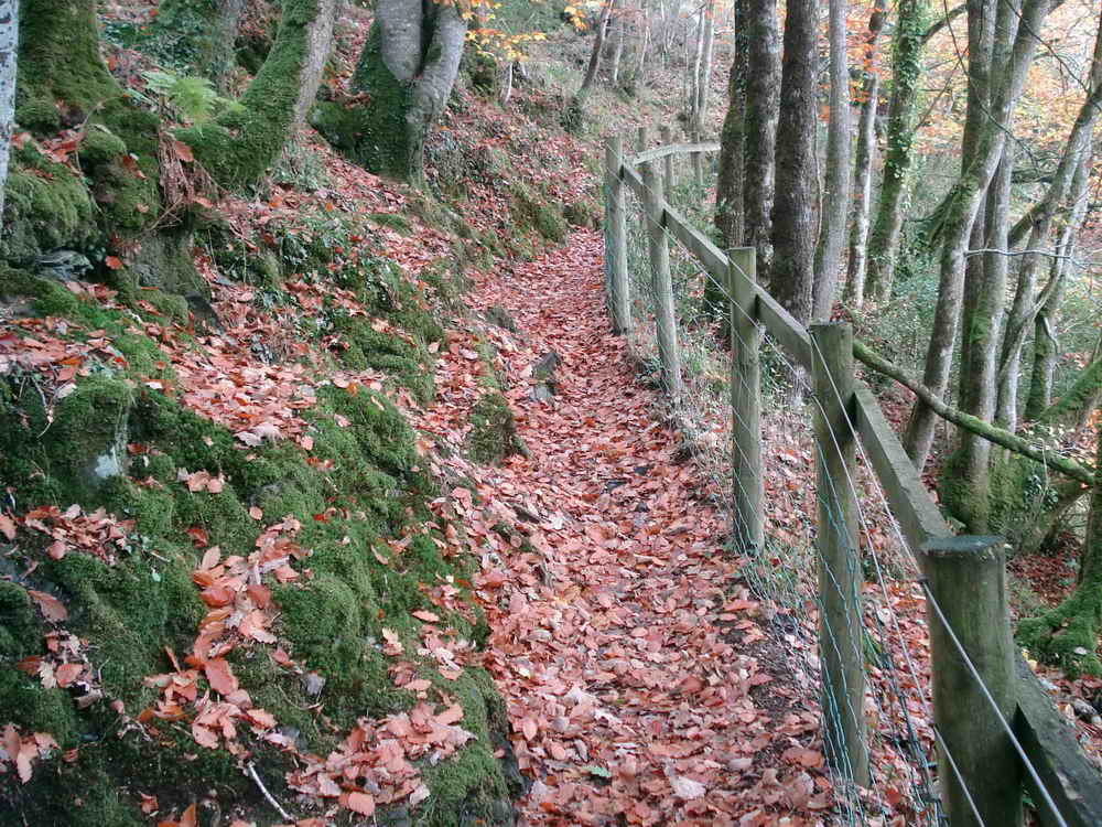
Follow the path from the car park down to the river and turn left, passing underneath the bridge
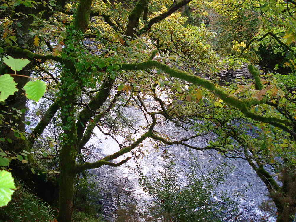
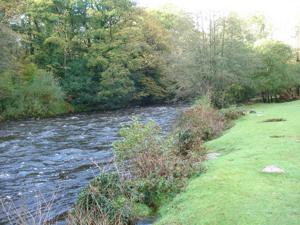
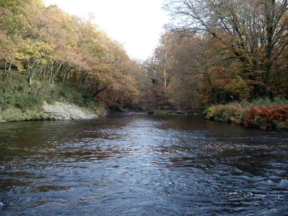
River Dart
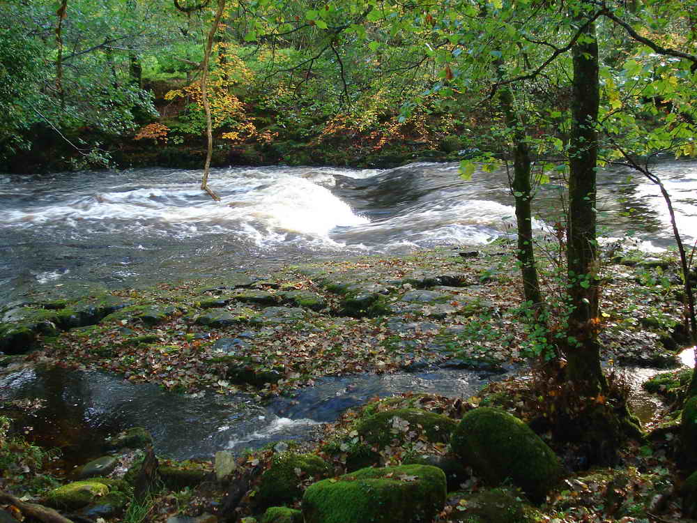
Newbridge is one of the British Canoe Union’s official access points to the Dart; this point in the photo is known as the Rock Pavement.
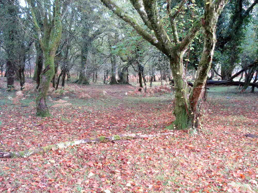
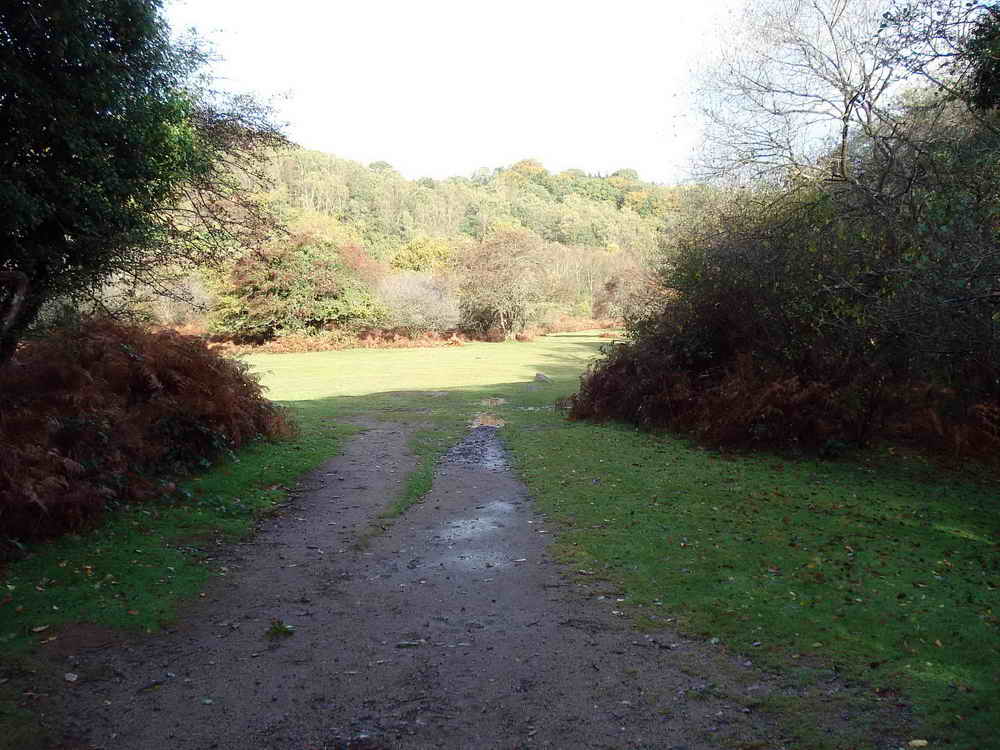
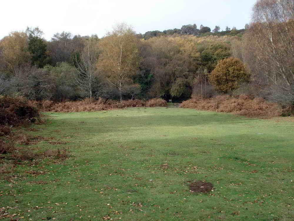
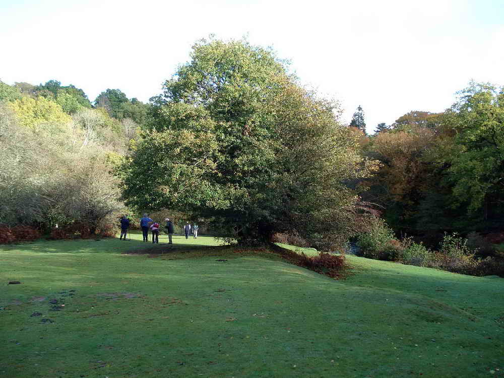
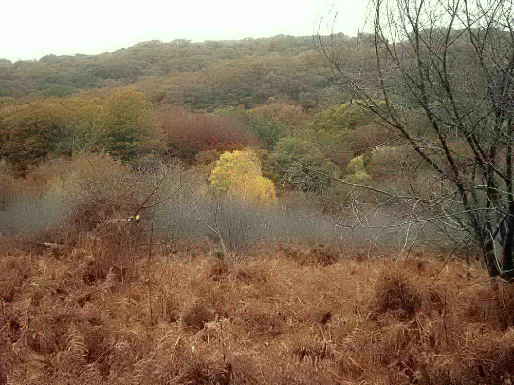
Deeper Marsh / Spitchwick
The footpath opens out into the much loved area known as Deeper Marsh. This used to get extremely busy during summer months, but sadly damage caused by visitors led the landowner to close the car parks in 2017 and they remain closed

Follow the trail on the map around the river, and then turn inland towards the marked pound
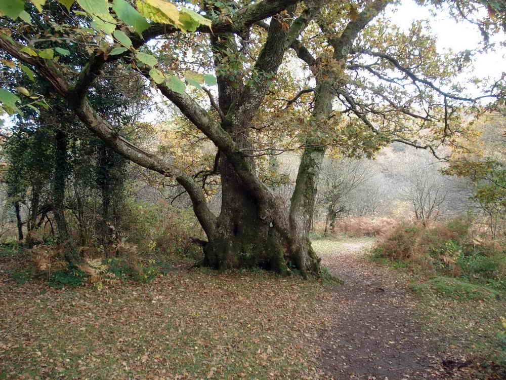
Pound
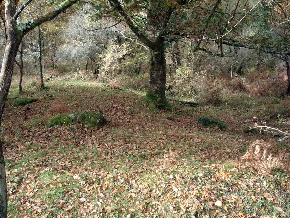
The exact origin of this site is disputed. It’s been described as a Neolithic Henge, a Bronze Age burial mound but is probably around two thousand years old and an enclosure made for controlling livestock. That the grass at Spitchwick remains frost-free in all but the coldest days support that this was a good land for grazing.
Once you’ve finished exploring Spitchwick, cross the road to the north and follow the signed footpath up the hill alongside the wall
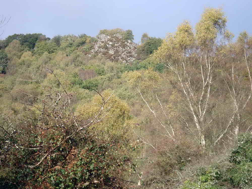
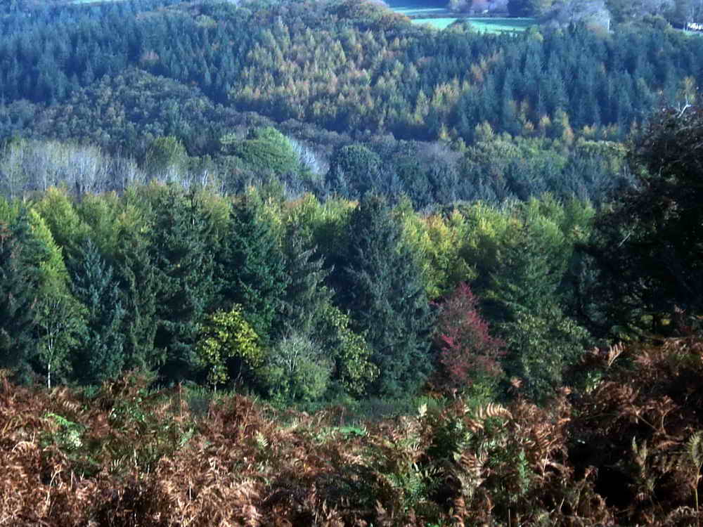
Leigh Tor
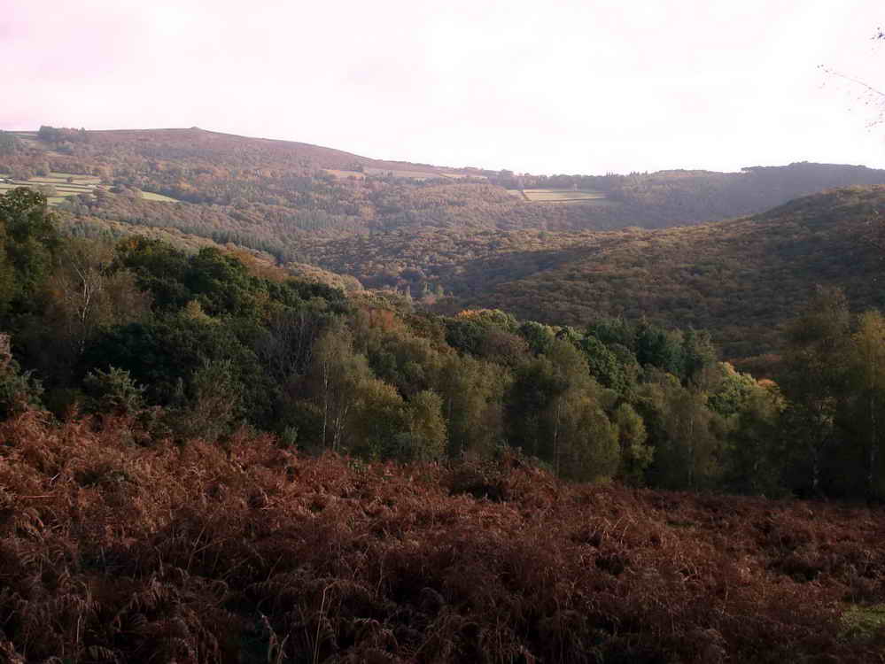
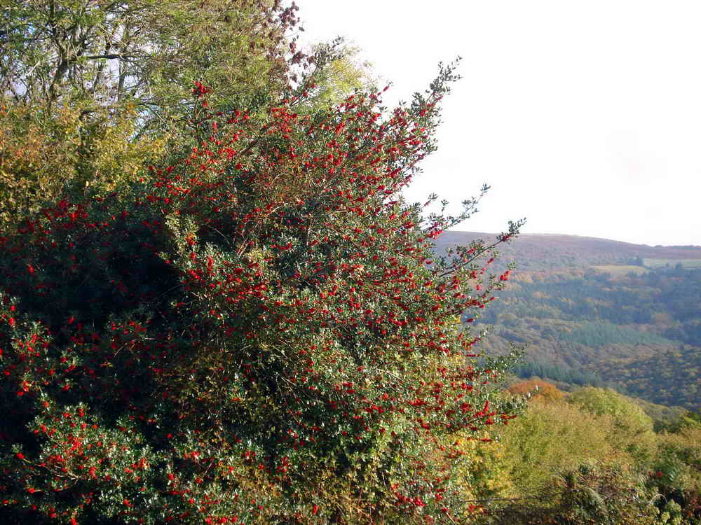
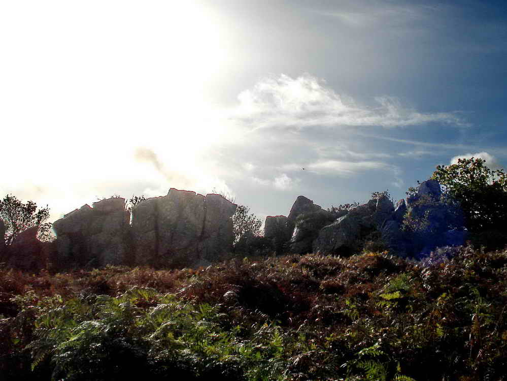

It’s possible to climb through Leigh Tor from this side to a precarious ledge with a great view to the West - but do be careful!

Note the 200 Mhz aerial, likely for telemetry information, but information about this station is scarce, including where it pumps to and from.
Continue walking up the footpath along the hedge until you come to a small car park. Cross the road here and when you reach the second road, turn left and follow it
Aish Tor
A short way along the road, you’ll spot a granite seat above it. A worthy spot for a rest with a very nice view.

Follow the road until it turns left and heads downhill, whereupon we bear right and keep to the open moor alongside the hedge
Hannaford Manor
The farmland area to our left as we descend the hill is Hannaford, containing three properties of which the most noteworthy is Hannaford Manor
This is the furthest from us and is a Grade II listed Arts and Crafts manor house. It was built between 1904 and 1911 by A. Wickham Jarvis with the gardens designed by Gertrude Jekyll and are said to be very fine.
It was sold for £1.5m recently
- Knight Frank Estate Agents listing of Hannaford Manor with photo of site
- Heritage Gateway - Gardens at Hannaford Manor
Locals may recognise the name - Hannaford is a common Dartmoor name, and Dave Hannaford was well known as a master builder of dry stone walls on the moor, having contracted to Dartmoor National Park. I remember watching him work many years ago, a true craftsman. – Simon
There is also Higher and Lower Hannaford Farms. Fine examples of local Dartmoor farms.
Follow the path downhill close to the hedge on your left until you reach…
Deadman’s Corner
Sorry, but the reasons for this naming seem to be lost to time

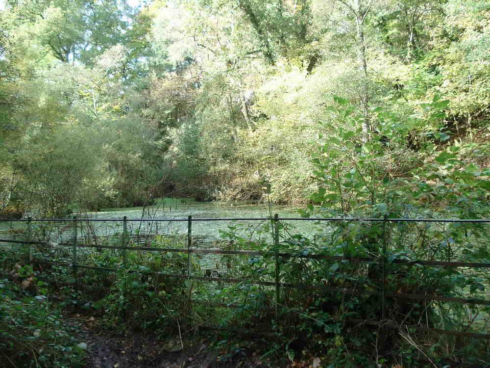
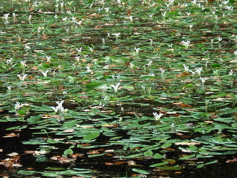
Hannaford Lily Pond
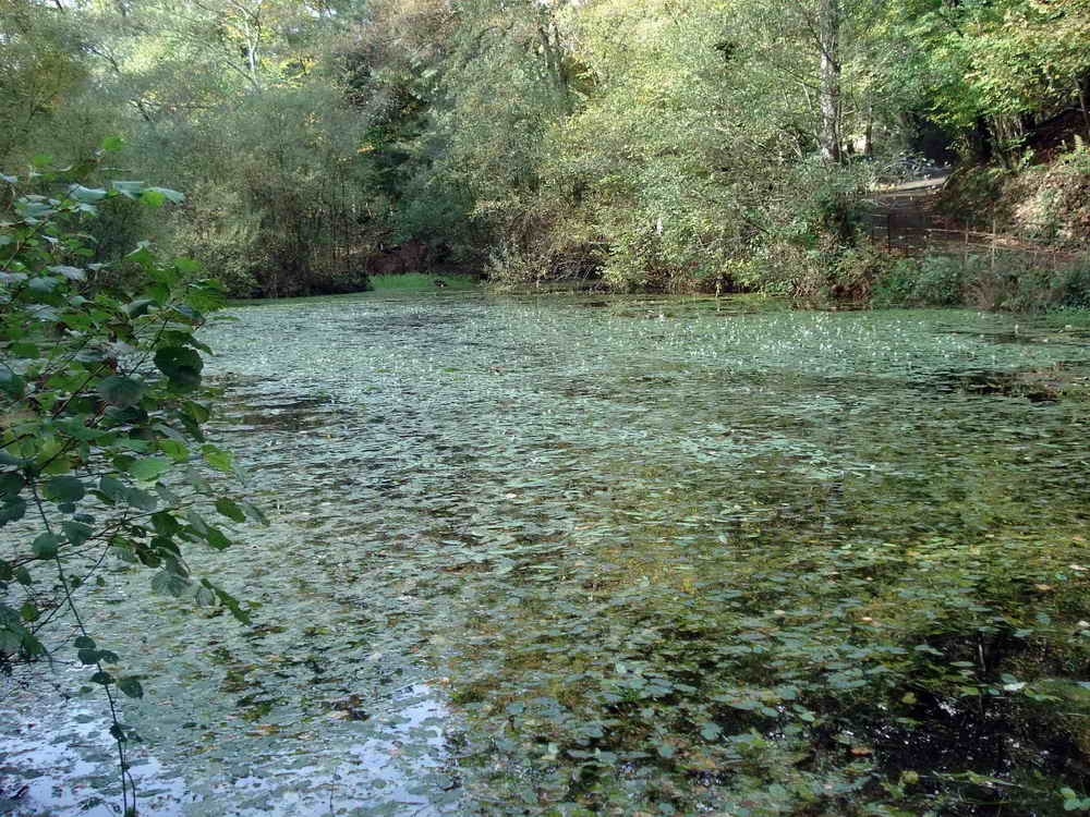
This pond was made by Victorians in the 1870s. Dartmoor National Park Authority restored it in 1998-1999.
Parking
There is pay and display parking at New Bridge, and some free spaces on the Holne side. Please note that there is no longer any parking at Deeper Marsh. There are some spaces above Leigh Tor at the top of Newbridge Hill that are often free.
Toilets
There are public toilets at the rear of the car park.