Information
- Distance: 4 miles
- Grade: medium
- A GPX route of this walk is available: Download GPX
- Directions to Car Park
- What Three Words
shifts.boomer.mountains
Map
Introduction
This area is known both as Emsworthy and Hemsworthy. Both are considered correct and trace their origins back to the 14th-century Aylmersworthy and 16th-century Omsworthye
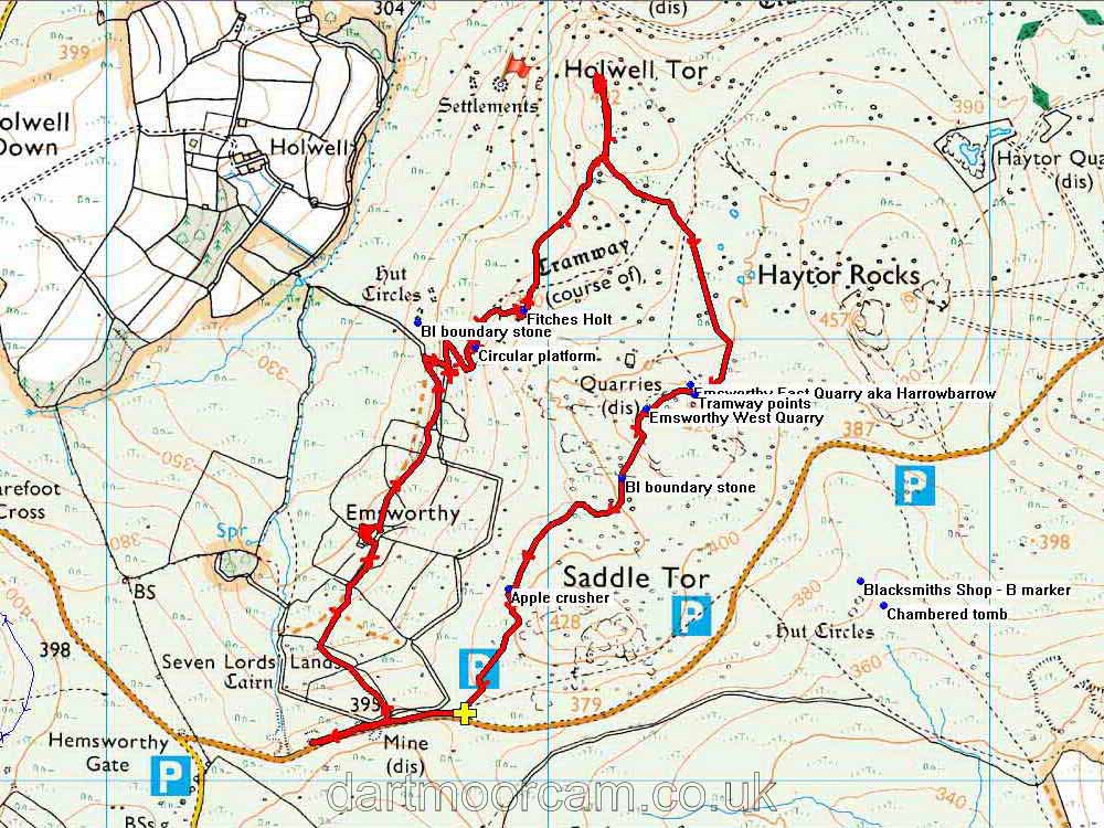
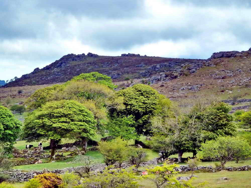
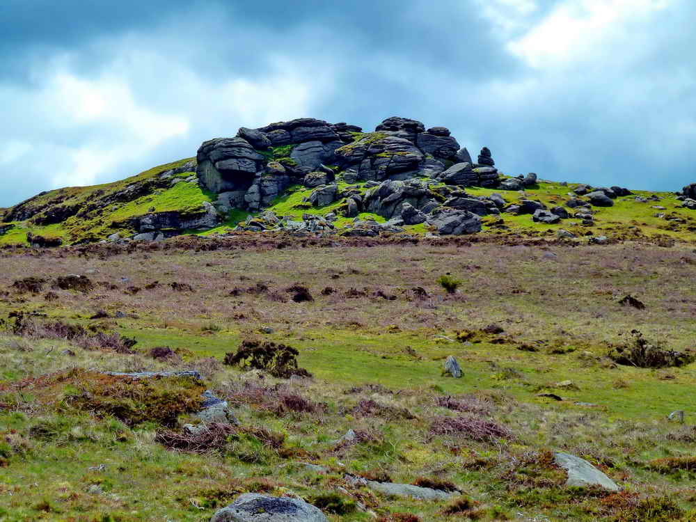
This walk takes us through the Emsworthy area and across to Holwell Tor.

Emsworthy Mine
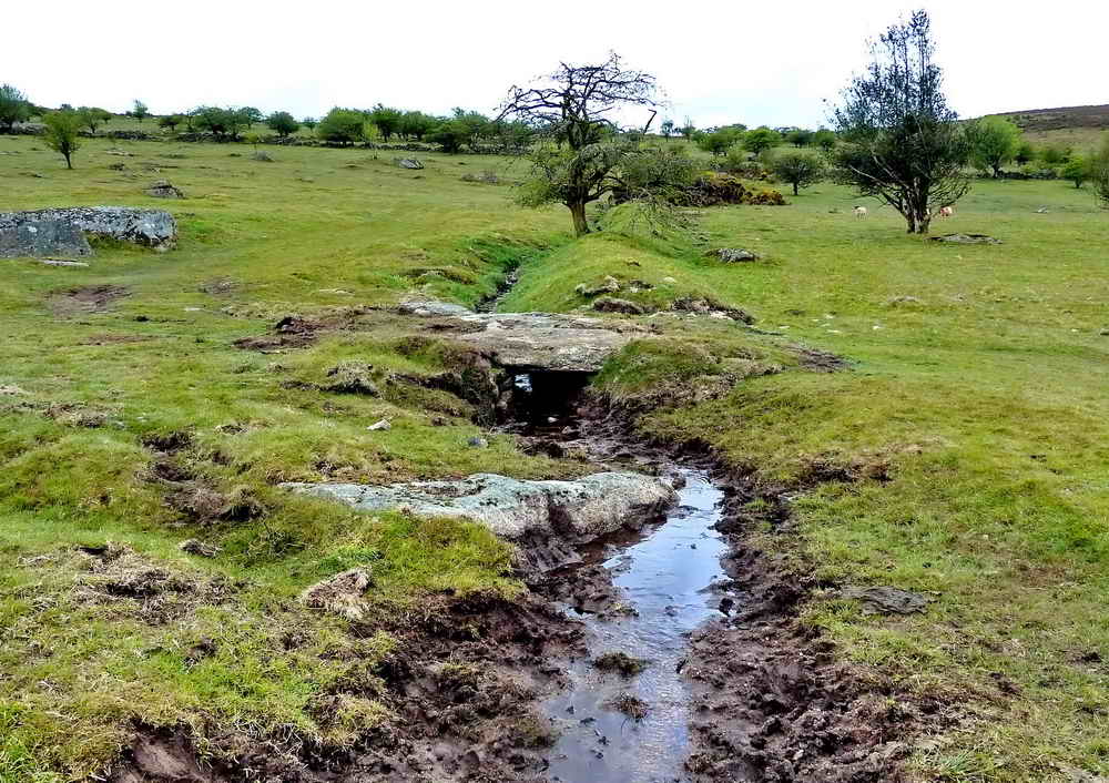
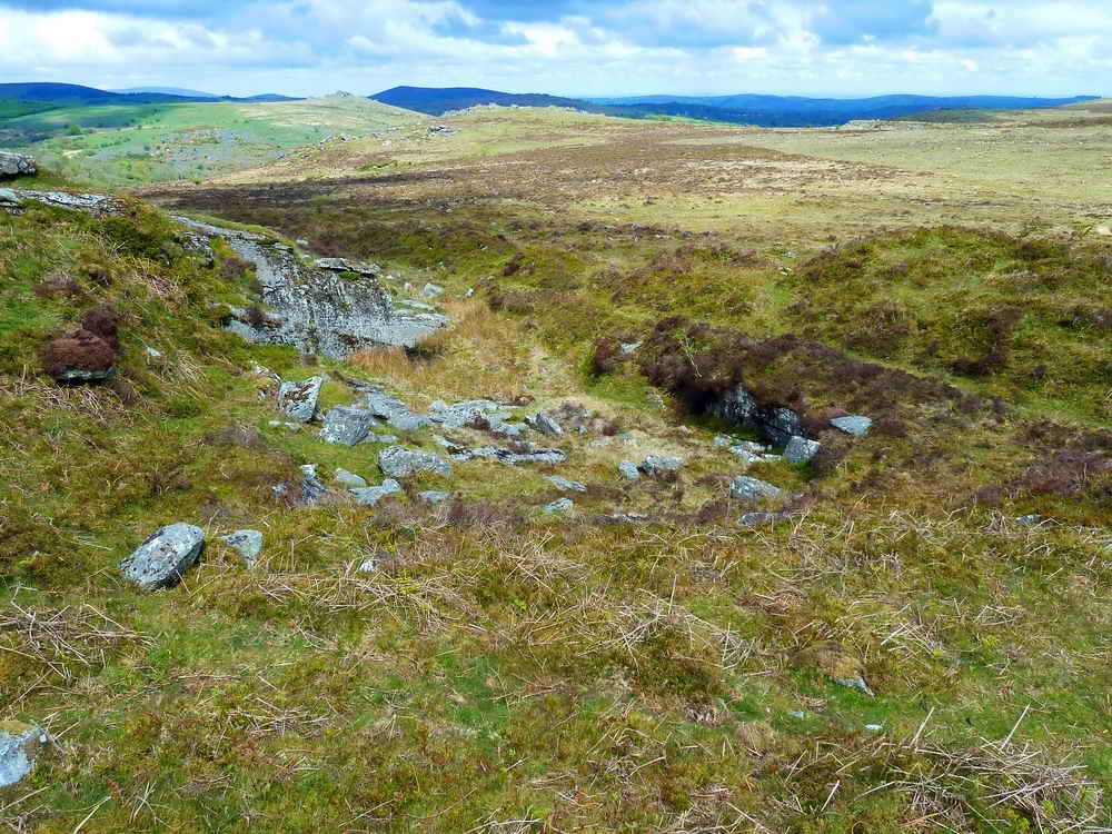
This area was originally worked for tin by ‘streaming’ by the ‘Old Men’ that could be as far back as the 12th century, reaching its peak in the 1500s. Their work still shows in the steep valleys where they washed raw tin free by directing water streams
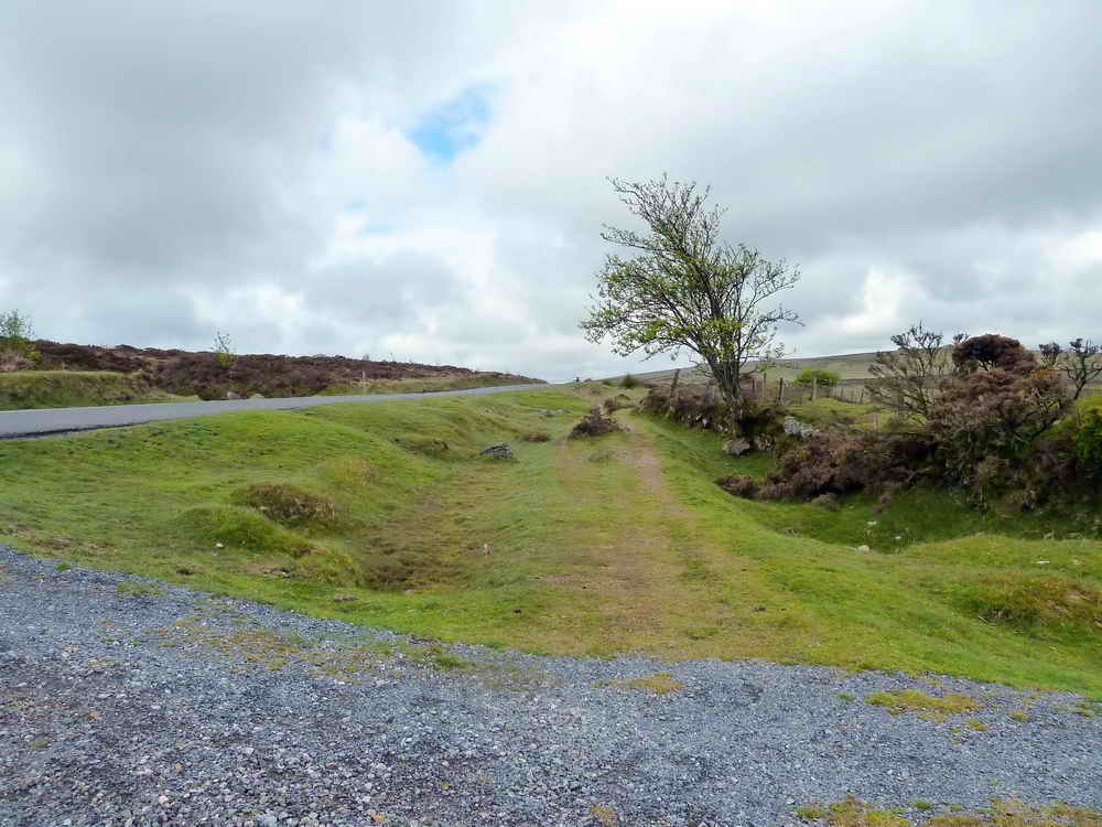
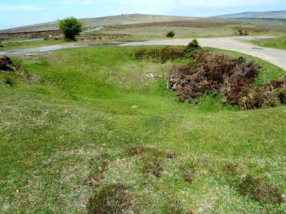
From the 1780s onwards, small “ten fathom” shafts were dug to explore this area, and some success was gained, enough to prove the area could be productive. In 1852, the Haytor Consols company started work here and soon sunk an Engine Shaft which eventually reached 168ft. To remove ore, a tramway was constructed which held rails at a 2ft gauge, heading East below the road to take the ore to Crownley Parks for processing. There was also a blacksmith’s shop built to service the mine.
Despite this work, there is no mention of the mine after 1856 suggesting it had been abandoned.
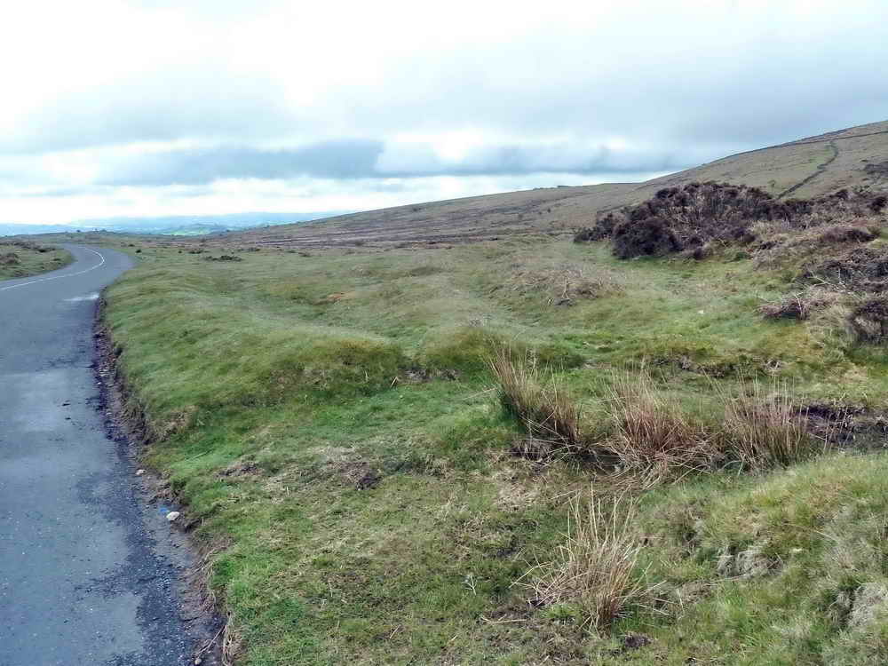
The shaft was later filled or capped and made hardstanding, forming today’s car park. At the edges you can still see some large cut sections of granite that may once have formed the engine house foundations.
For more details, a sketch map and more photographs, there is an excellent page at Dartmoor Explorations.
Emsworthy Farm
The name dates back at least to the 12th century as Aylmersworthy (“Aylmer’s enclosure”) and comprised a typical Devon medieval longhouse with livestock at one end and people at the other. (A fine remaining example of this is Upcott, restored by Dartmoor National Park).
The 1838 Tithe map shows Emsworthy being owned by Lord Cranstoun and farmed by William Winser. It was comprised of 80 acres of arable and rough pasture, a garden, the farmhouse and outbuildings. During Victorian times, the existing stone barn was added as the farm’s needs expanded.
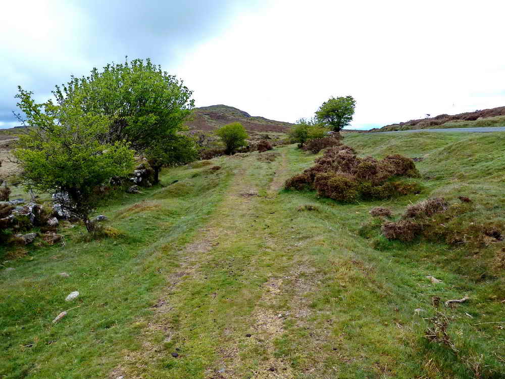
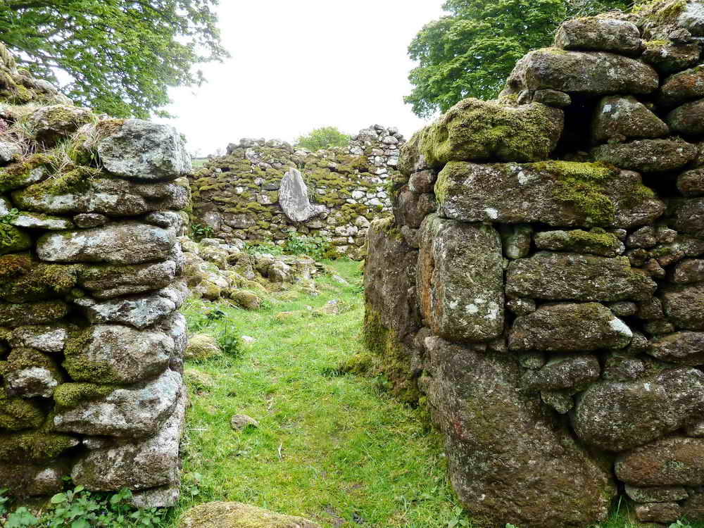
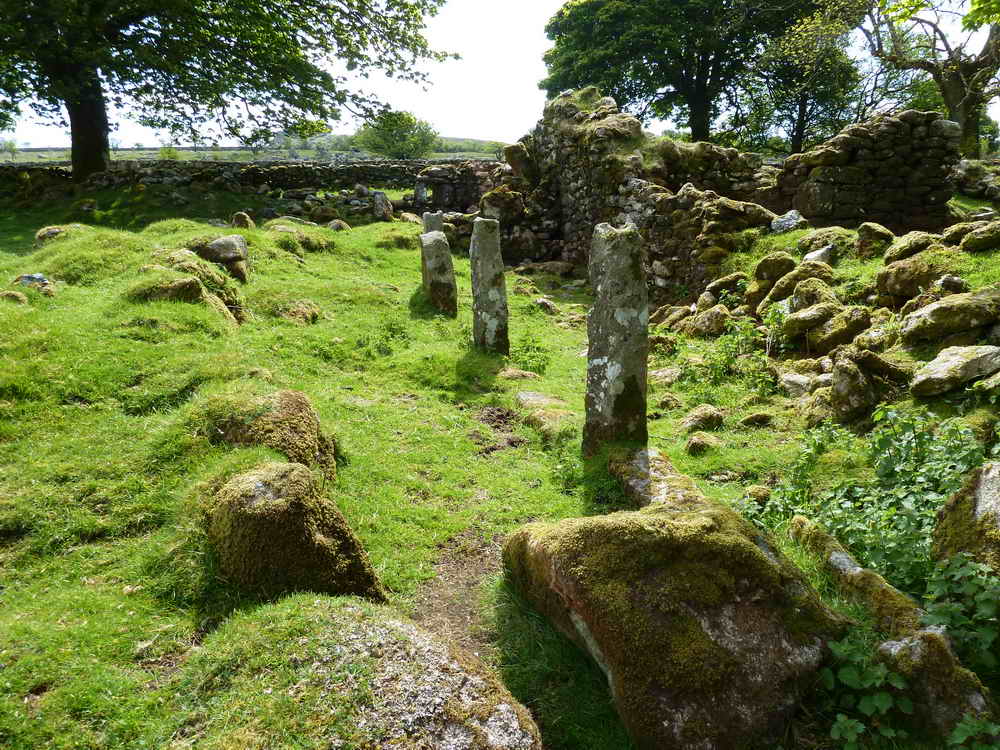
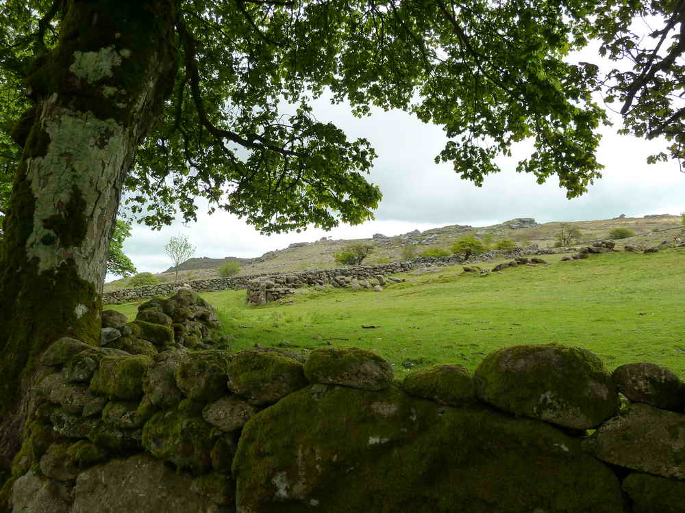
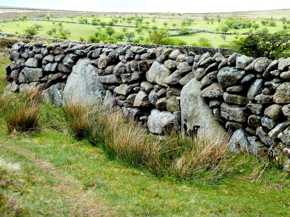
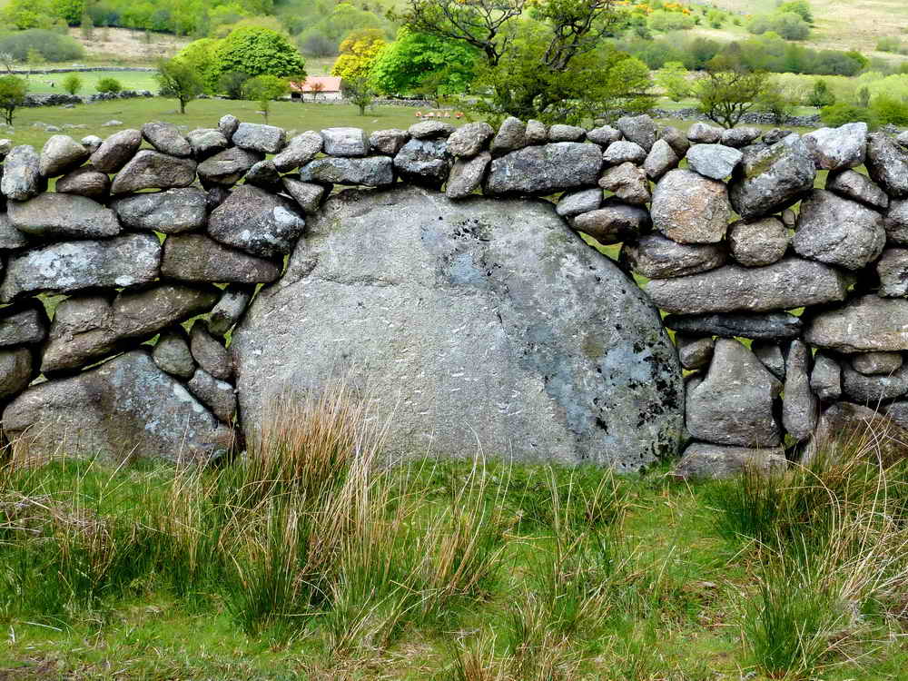
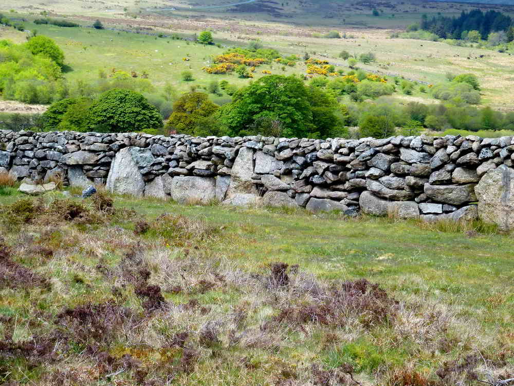
Emsworthy Farm was abandoned in the 1870s, although parts remained in use until the First World War. Today, the Barn remains in good order, and foundations and walls show where other buildings and field layouts were, including the walled Emsworthy Lane leading to the farm.
More details and a map of the area are available at Dartmoor Explorations - Emsworthy Farmstead
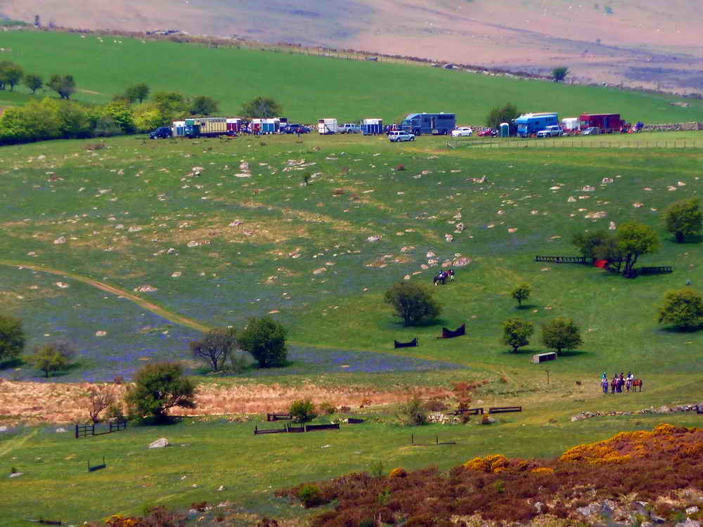
Across the valley you may see some strange structures and be curious - these are Show Jumps at Holwell Lawn and regularly used for competition. Surely one of the most picturesque courses in the country.
Emsworthy Barn
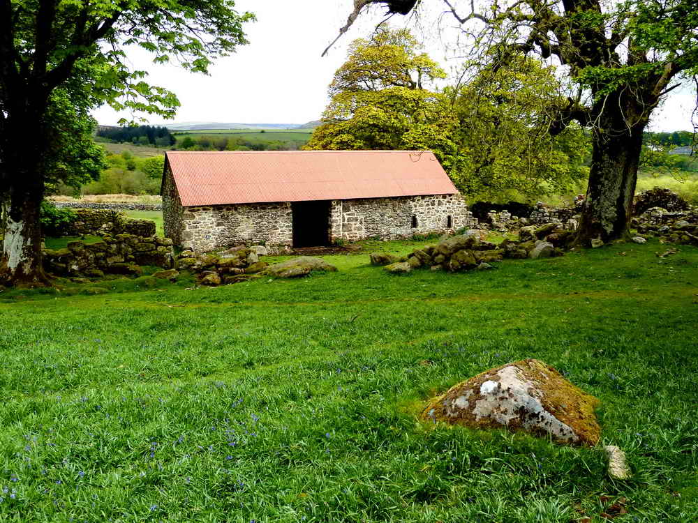
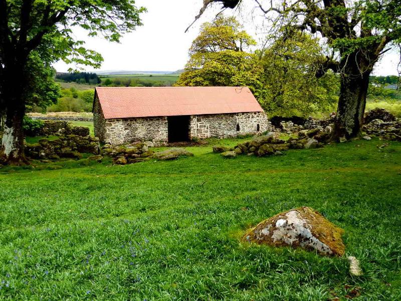
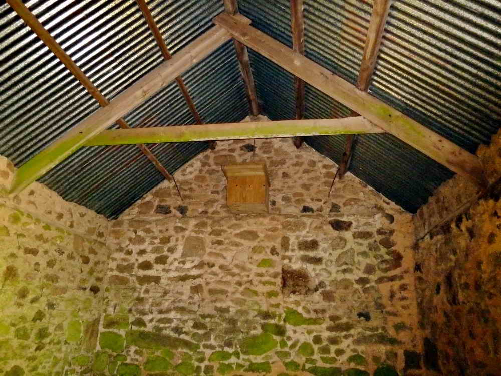
Emsworthy Barn is the last remaining structure of Emsworthy Farm. It’s used now as an occasional store for conservation management equipment by the Devon Wildlife Trust who manage the nearby Emsworthy Mire. There is also an owl box inside.
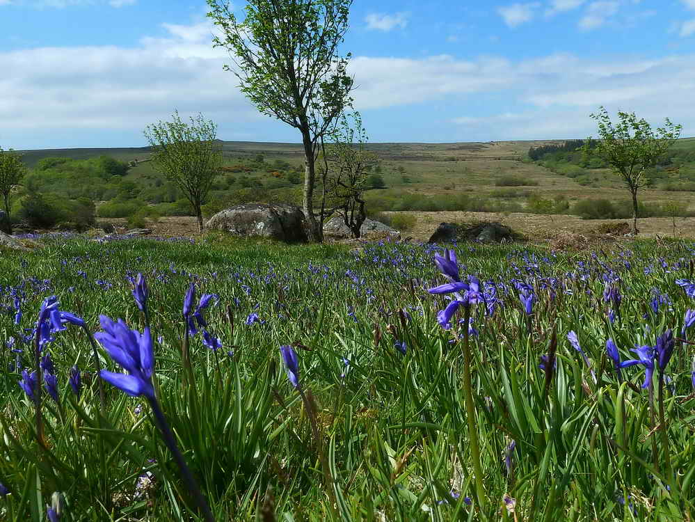
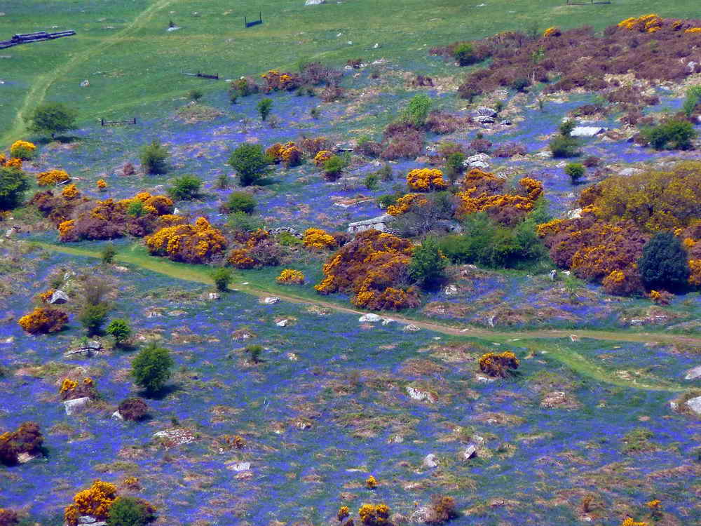
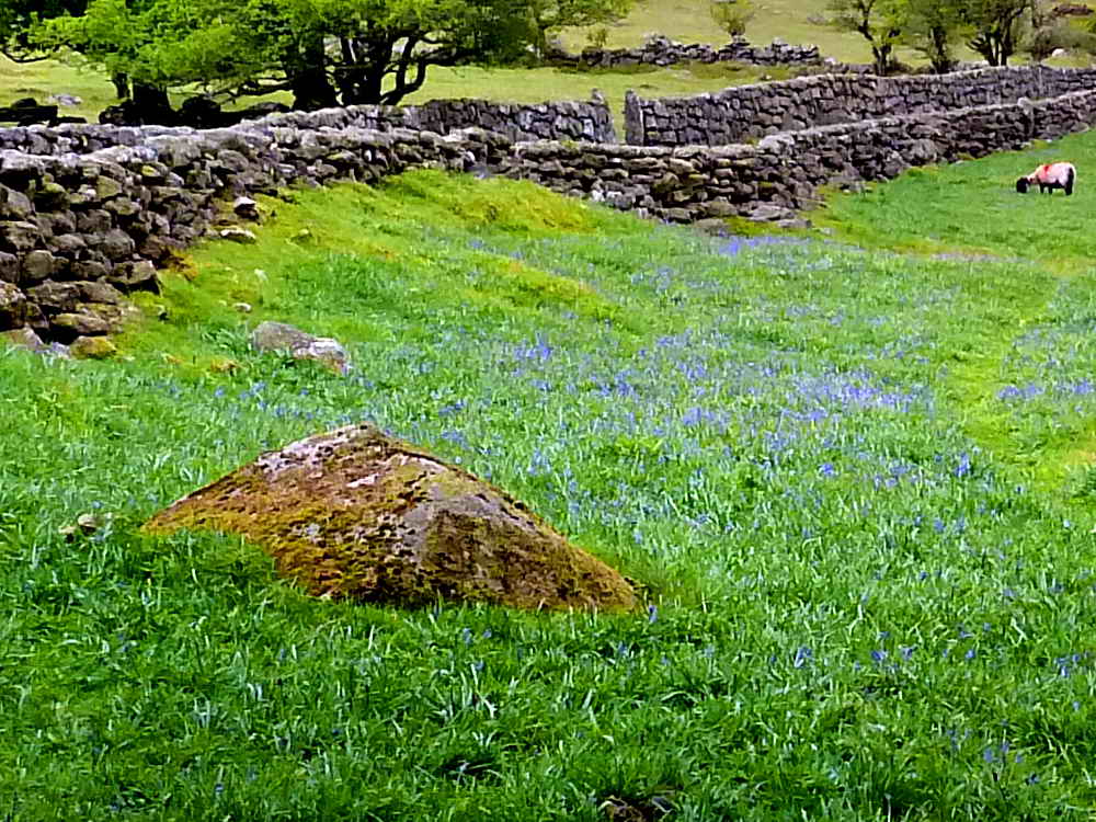
The entire area is richly carpeted in Bluebells through April and May and draws thousands and thousands of visitors keen to experience the sight and improve their social media. On the opposite side of the valley, Holwell Lawn also features a huge area of Bluebells and makes quite the spectacle when they’re in flower.
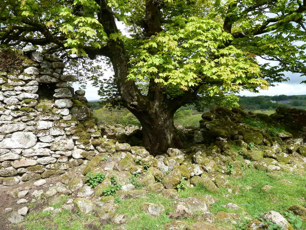
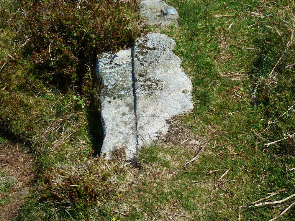
Slotted Gatepost
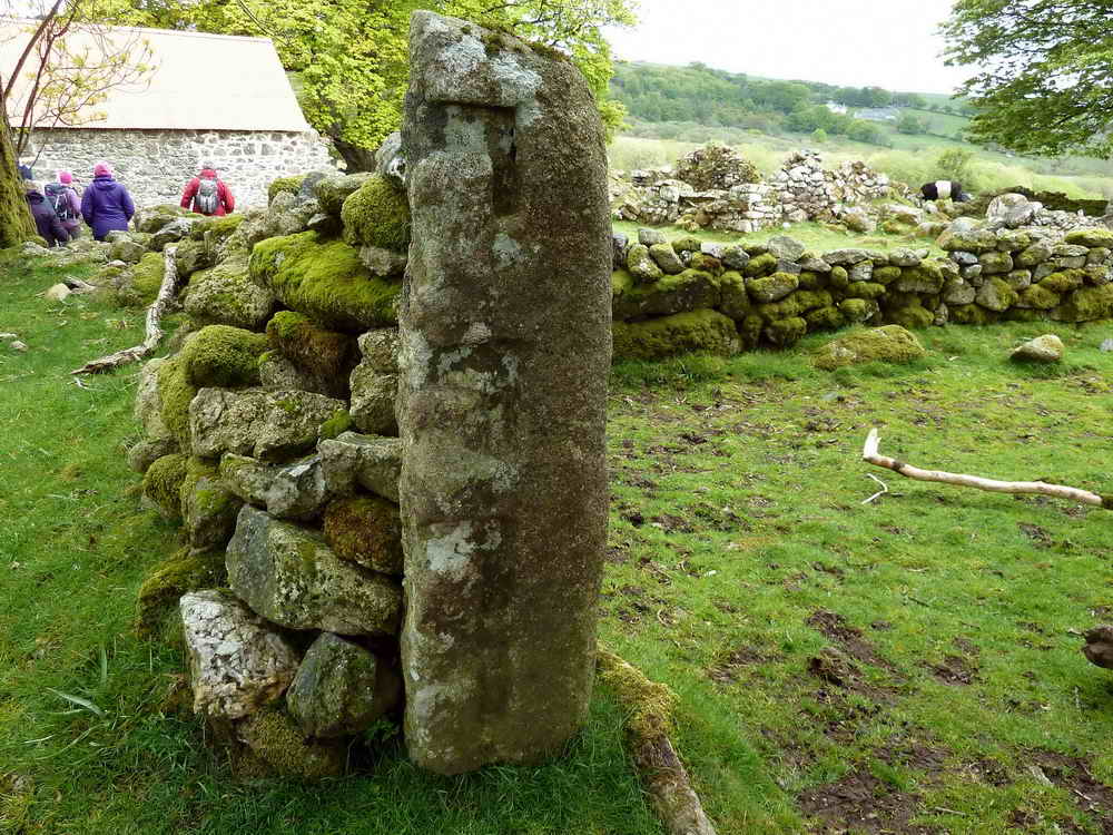
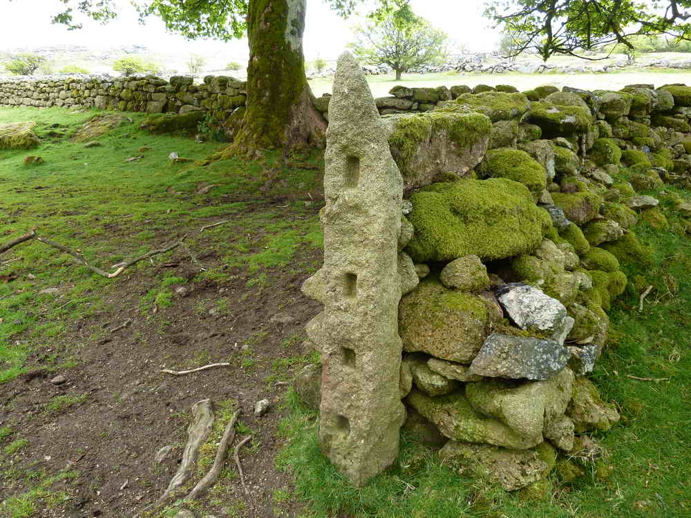
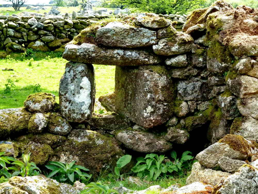
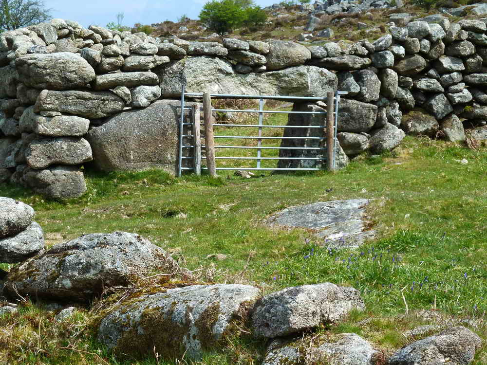
Slotted gateposts aren’t unique to Dartmoor, being found throughout the country. Before iron hinges were readily available they were the best way to secure an opening. A single plank or piece of straight timber would be first placed in one of the rectangular slots and then slid horizontally and down in at the other end - the process repeated until all four rails were solidly in place. These examples are so well defined it’s easy to see they were designed for either square-cut planks, or squared-off ends. You can also find others at Teignhead Farm and elsewhere - and gateposts still today in use may have modern iron hinge pins either drilled and wedged in place using thin iron “tares” or slate. More recently - from the 1970s or so, epoxy is used to hold ironwork firm. Other postss may have iron strapping around them to hold the hinge pins, and an iron eye let in on the slamming post.
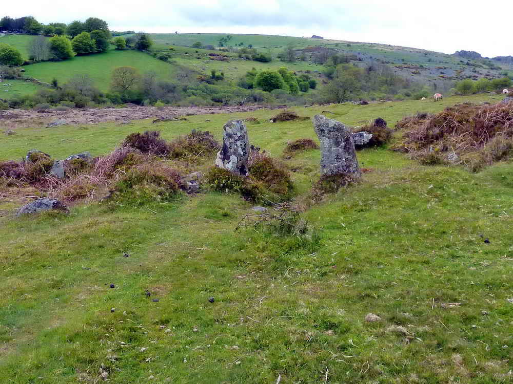
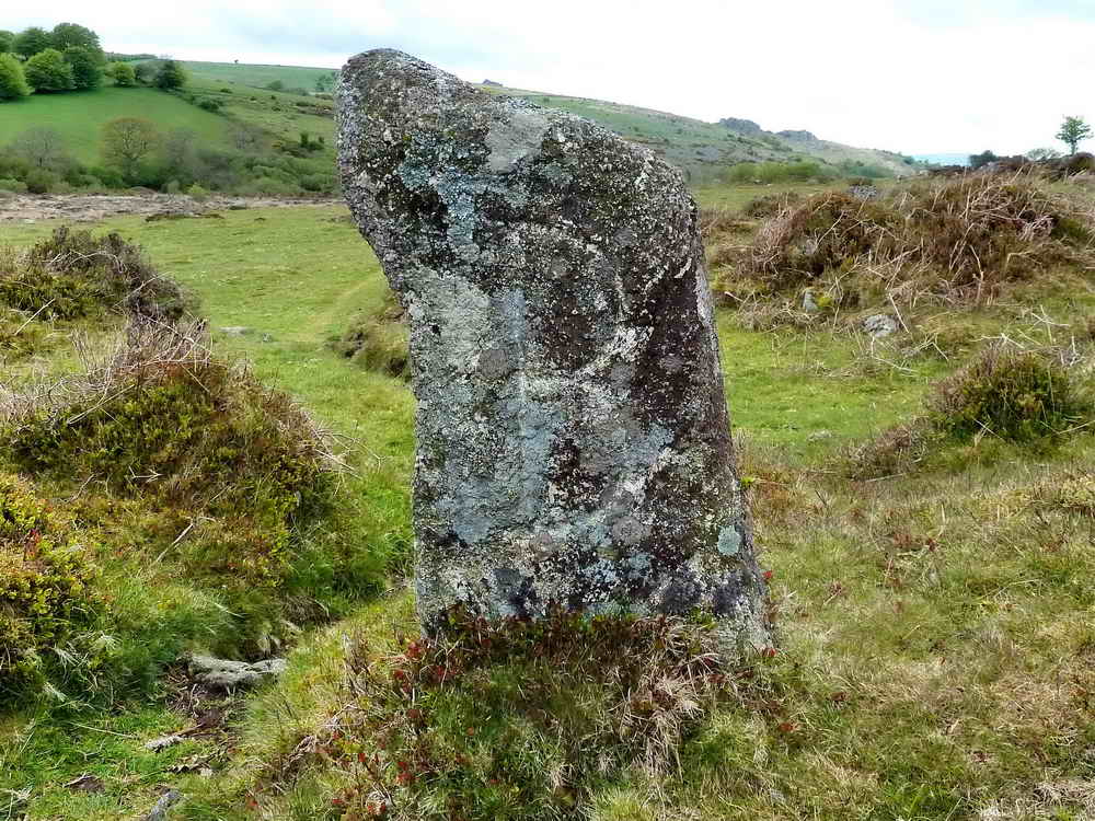
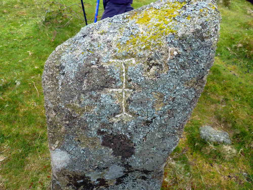
Bronze Age Enclosure
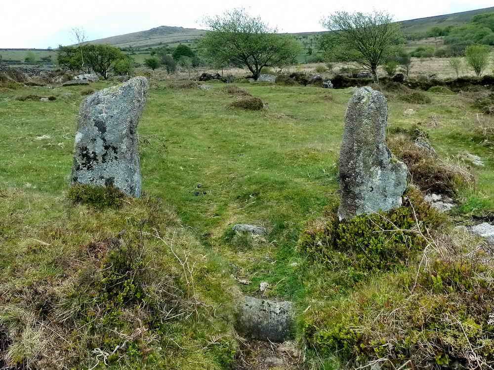
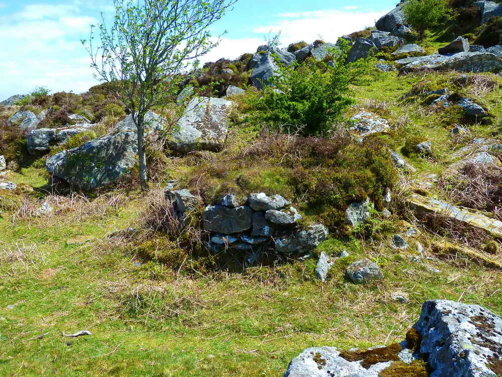
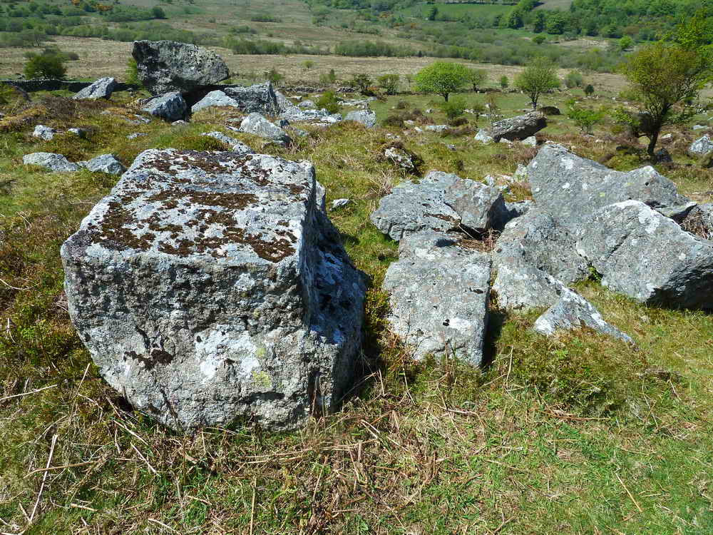
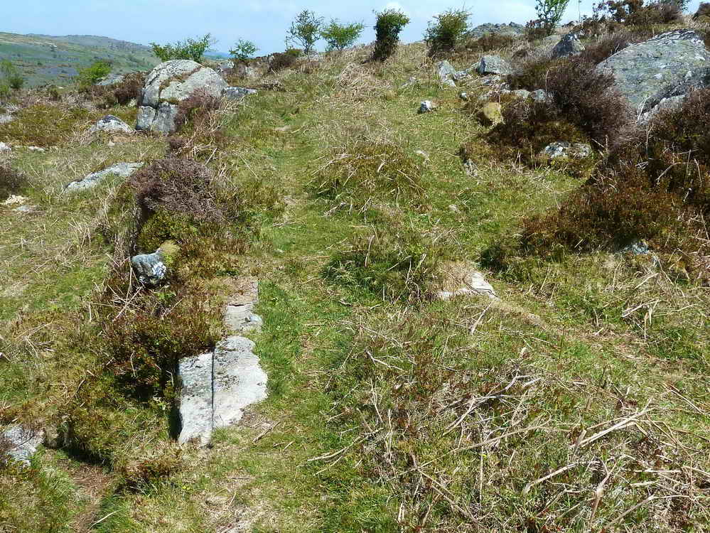
Fitches Holt
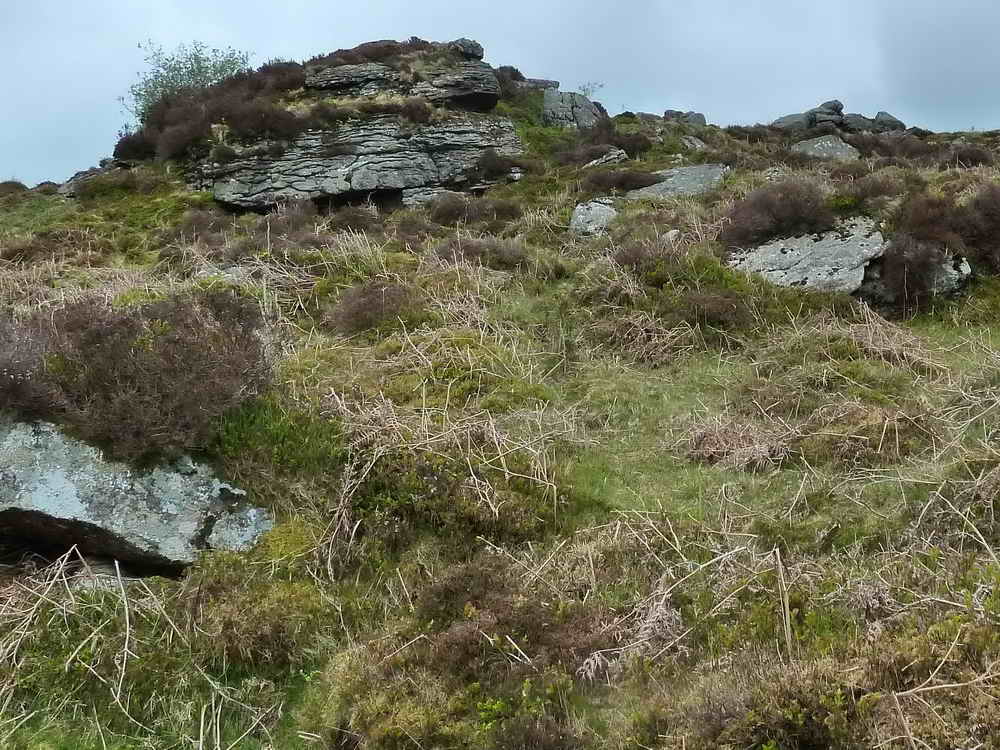
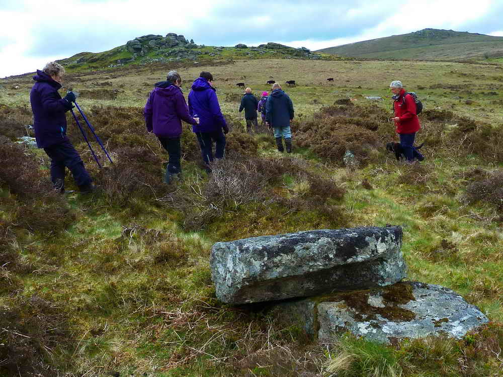
According to the Dartmoor author Hemery, this is the site where polecats once bred (“fitch” being an old name for polecat). It’s shown on the Ordnance Survey map but it’s hard to be sure which specific rock claims this title, although general agreement is that it’s the “armchair rock” at SX 7518 7683.
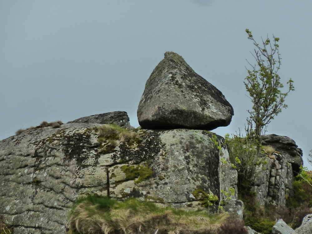
Holwell Tor
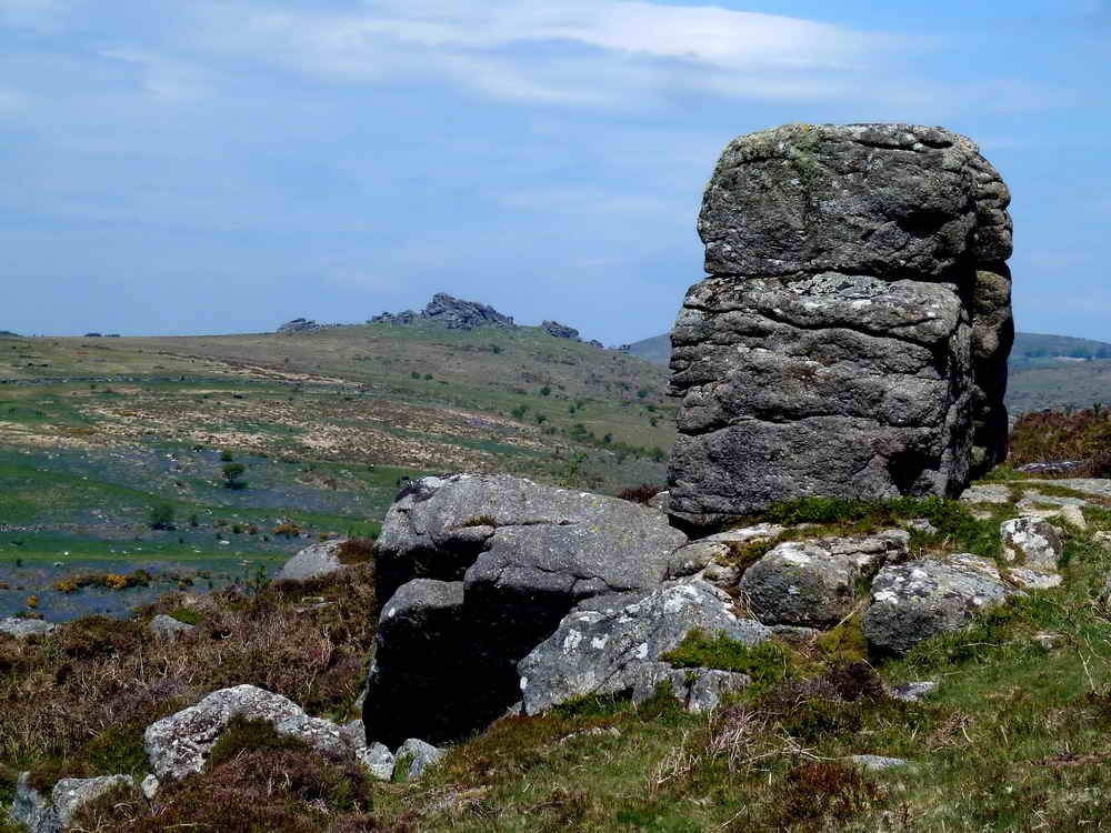
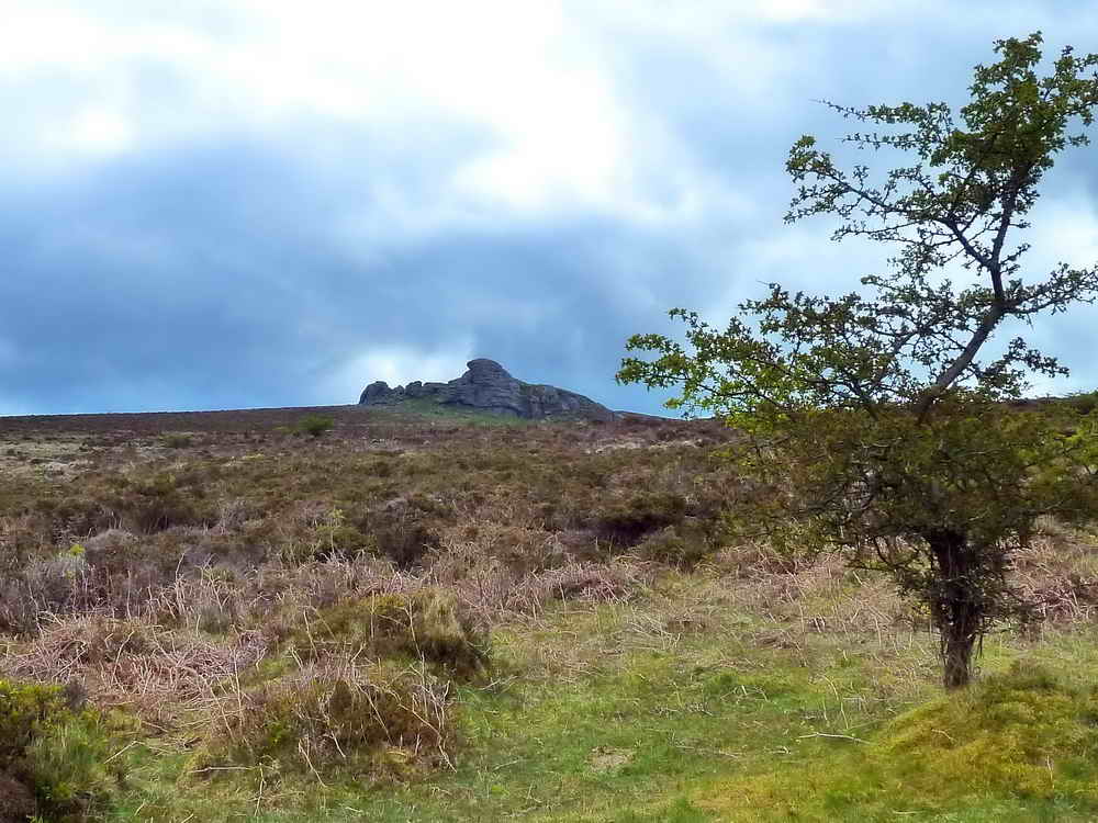
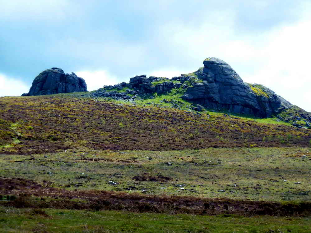
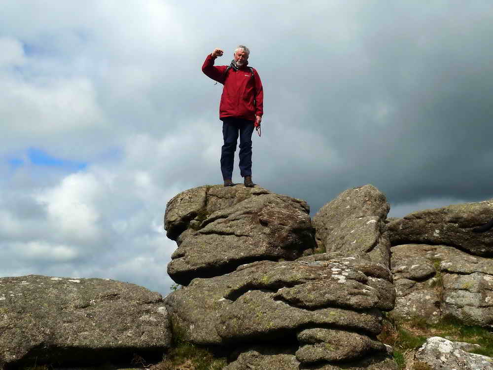
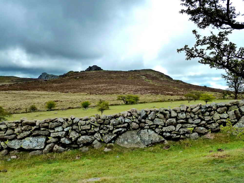
Below Holwell Tor, although hard to see from this vantage, are the extensive quarry workings sharing its name. They include a small “Beehive Hut” made of granite where explosives were once stored.
Hemsworthy Quarries
Also known as Harrowbeer Quarry, Emsworthy East Quarry is one of five interconnected quarries comprising the Haytor Down quarry group, which was started by George Templer in 1813 and last worked in the 1840s, having passed to the Johnson Brothers who also quarried Foggintor and surrounding areas.
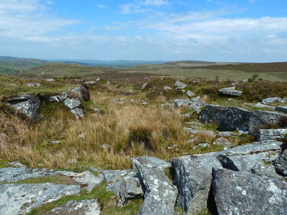
You will cross various old tramways which once carried Granite from the smaller quarries to the main Haytor Quarry site for transport off the moor.
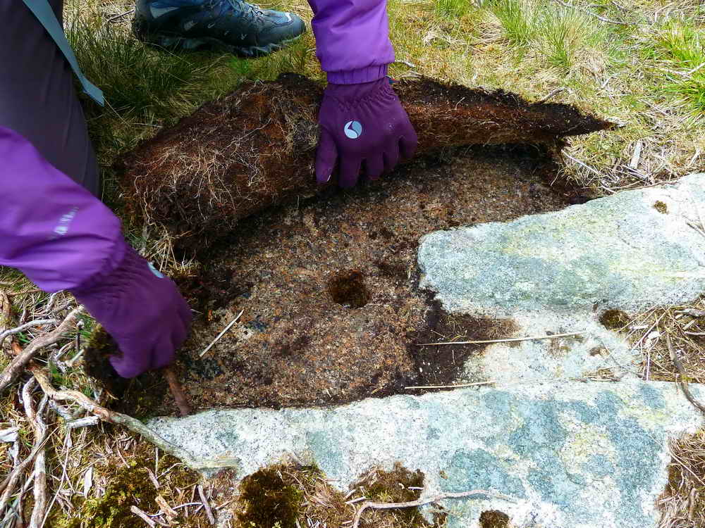
Similar points are found by Haytor quarry and held iron and wooden points to direct the horse-drawn carts along different tracks.

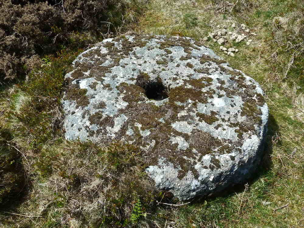
Apple crushers were in high demand. Almost every farm had an orchard of cider apples and would make their own rough cider every autumn. Given that part of the wages for every farm worker included cider, it made much more sense than buying it in.
Parking
There are several roadside car parks near to the starting point. These are all free of charge. Nearest toilets are at Haytor lower car park.
References
The original walk was researched and led by Liz Miall and photographed and recorded by Keith Ryan on the 29th and 30th of May, 2013. Simon Avery transferred it to this website, adding additional research in 2026.